
TOPOGRAPHY
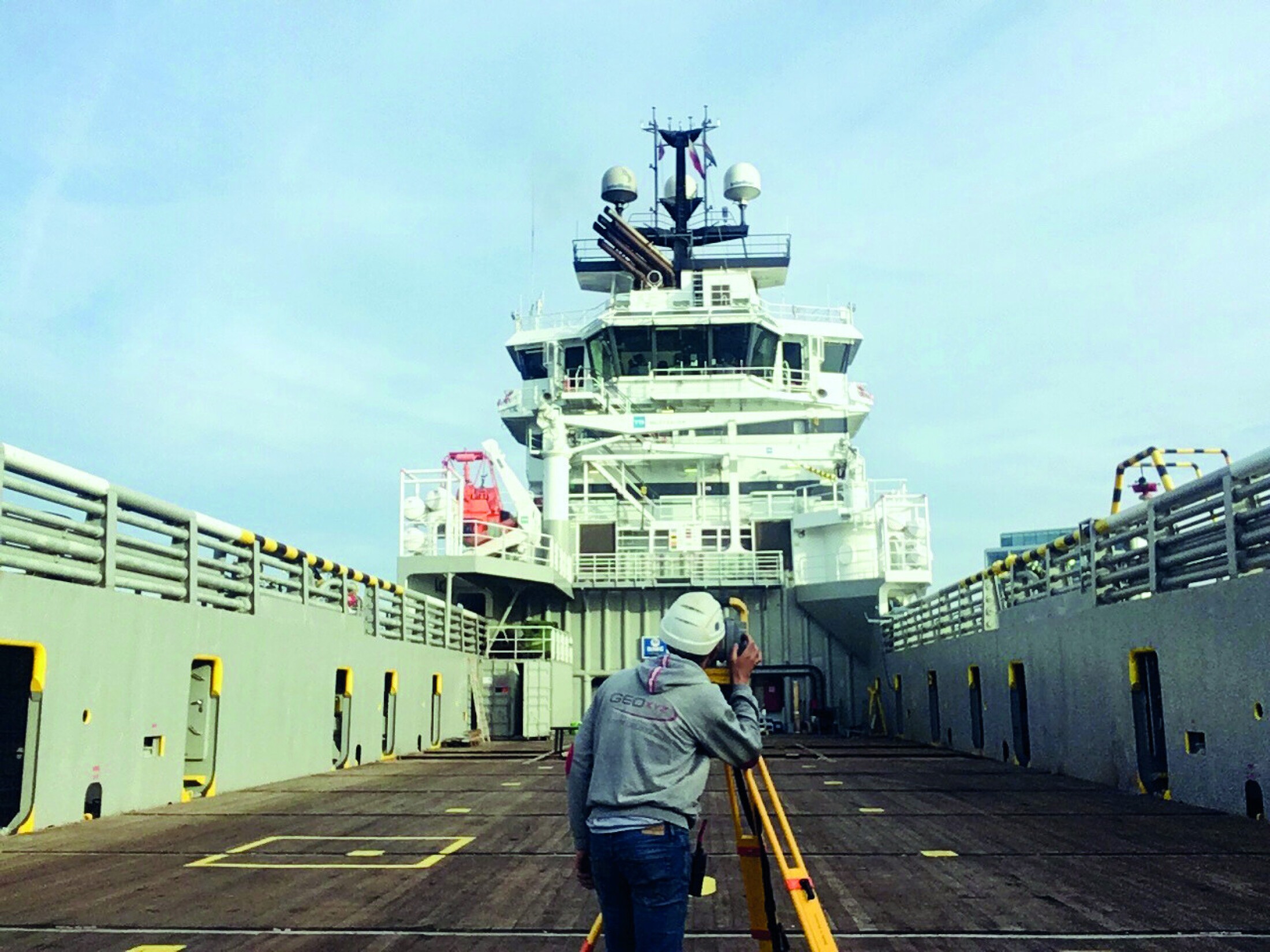
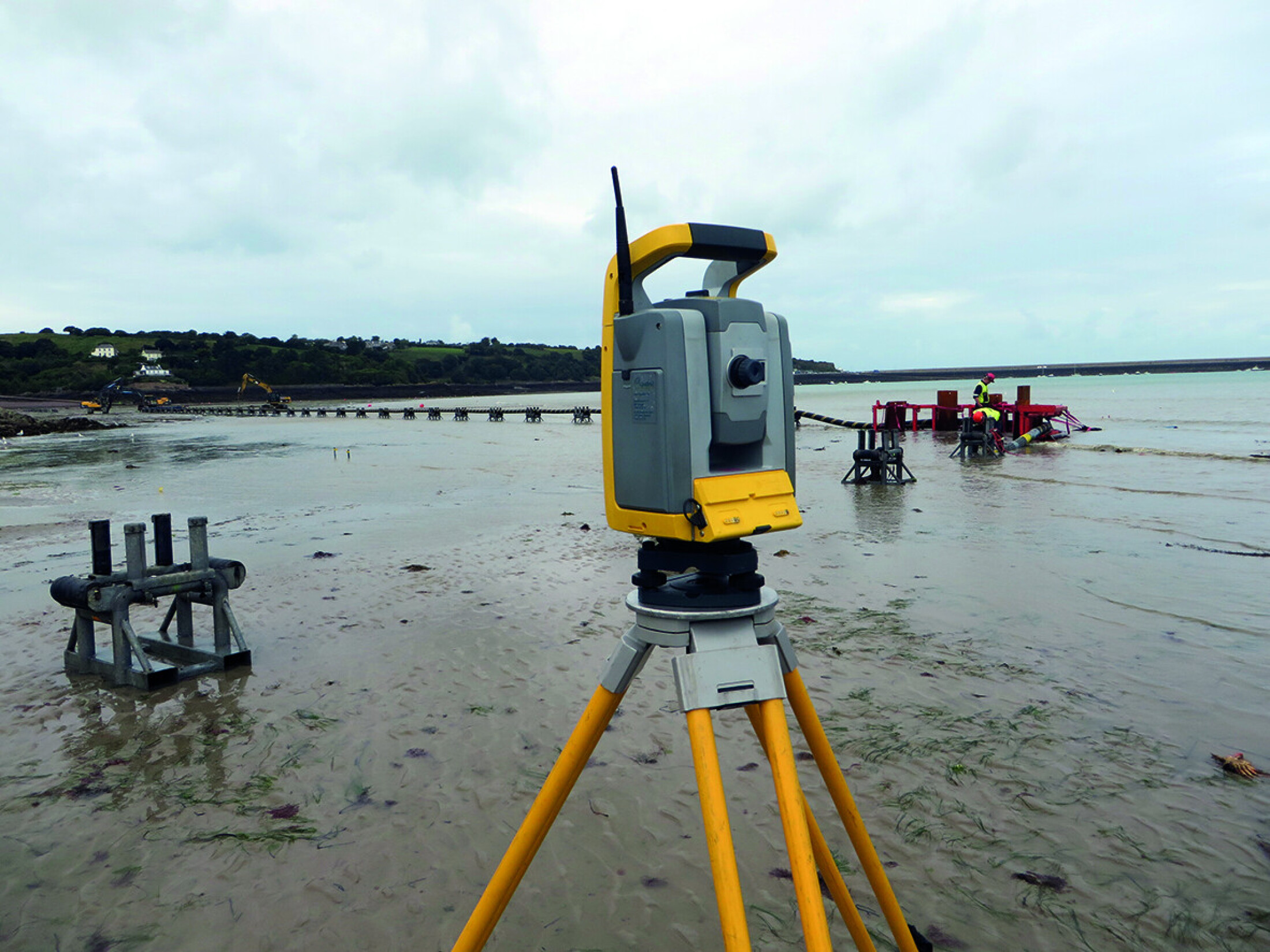
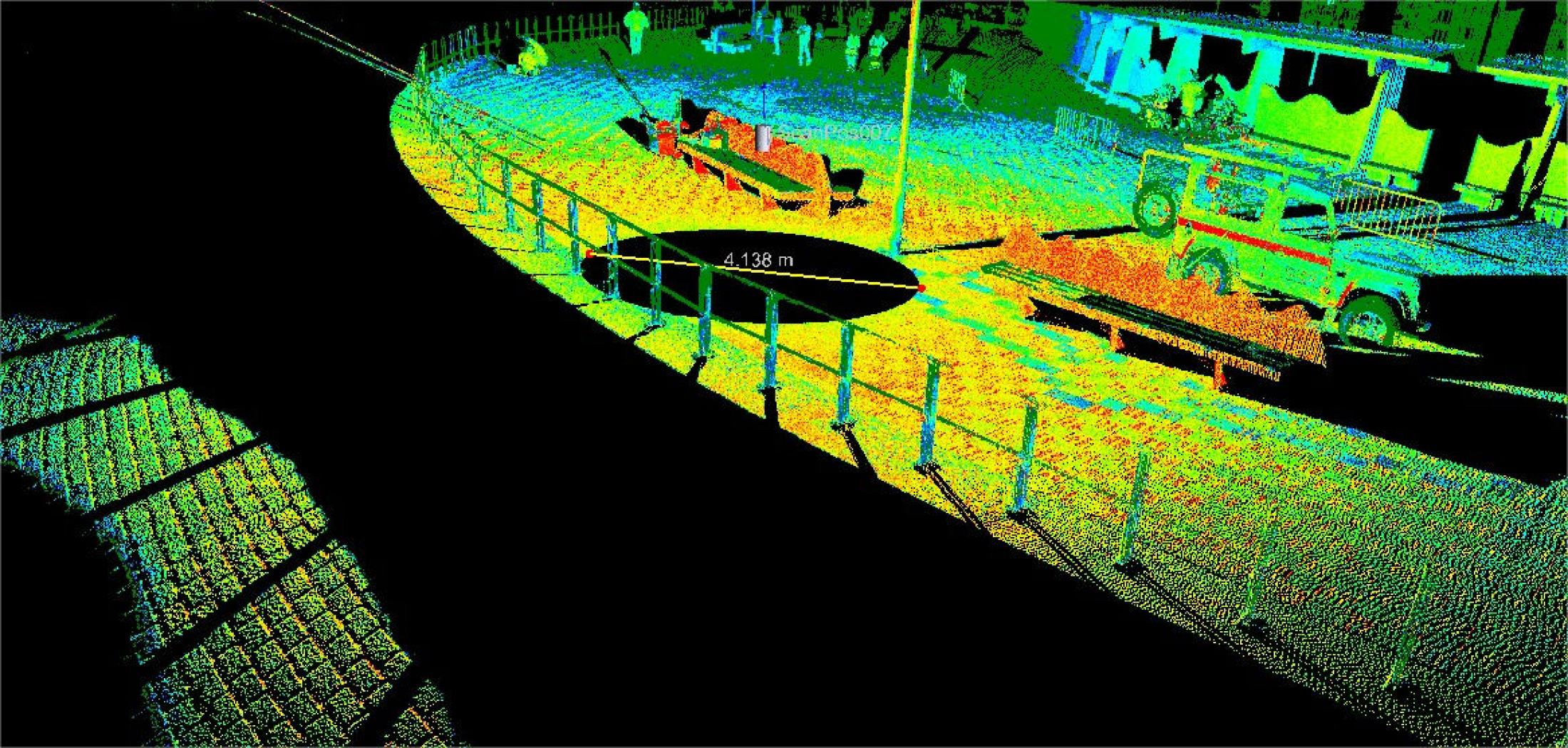
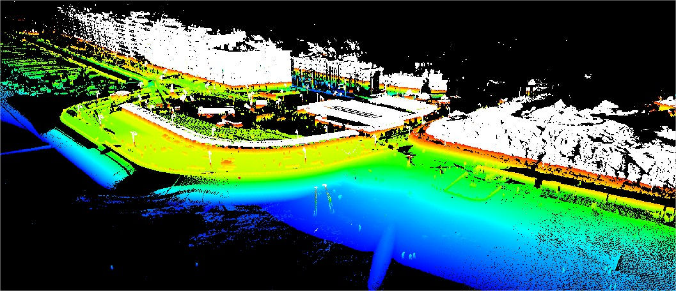
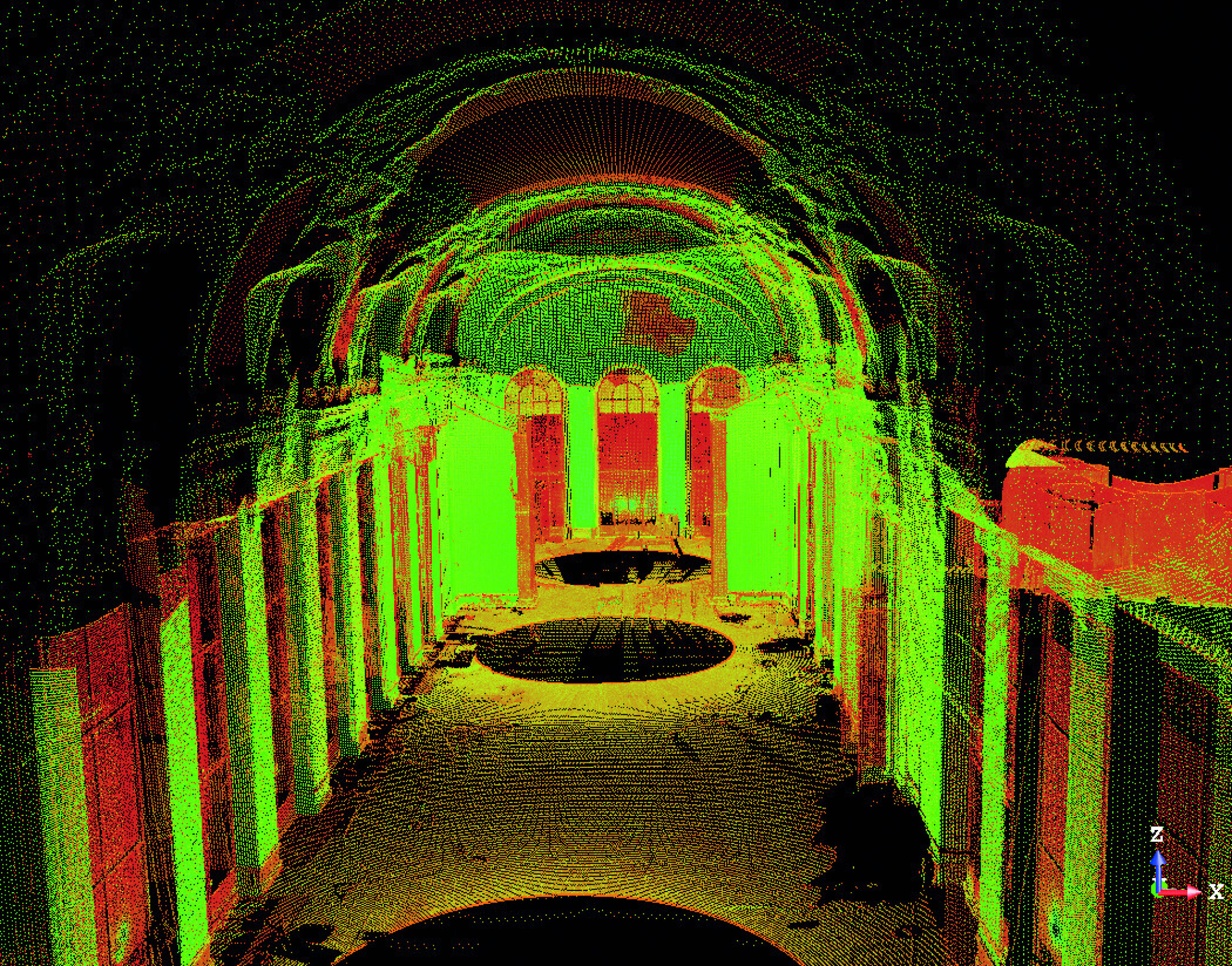
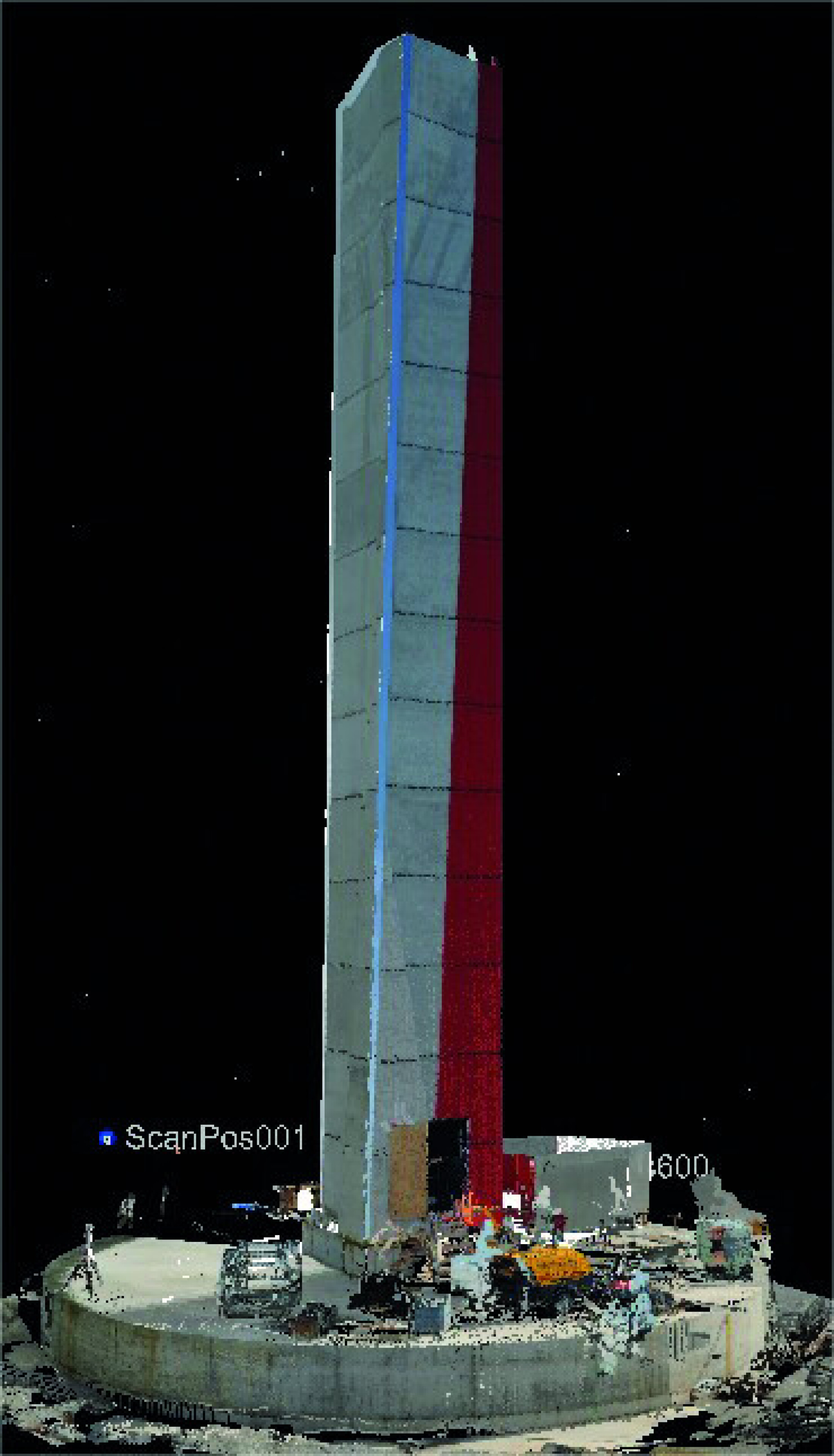
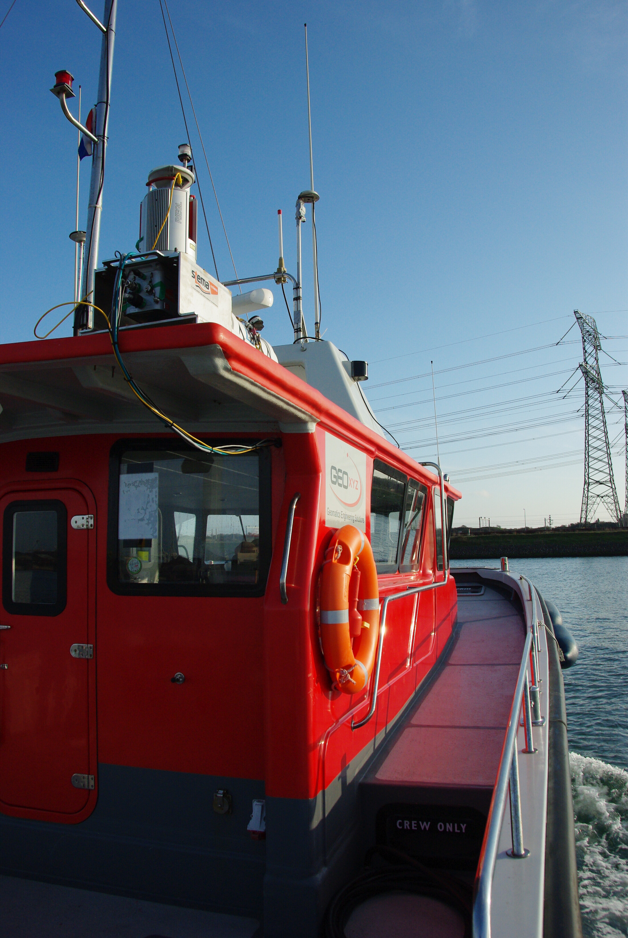
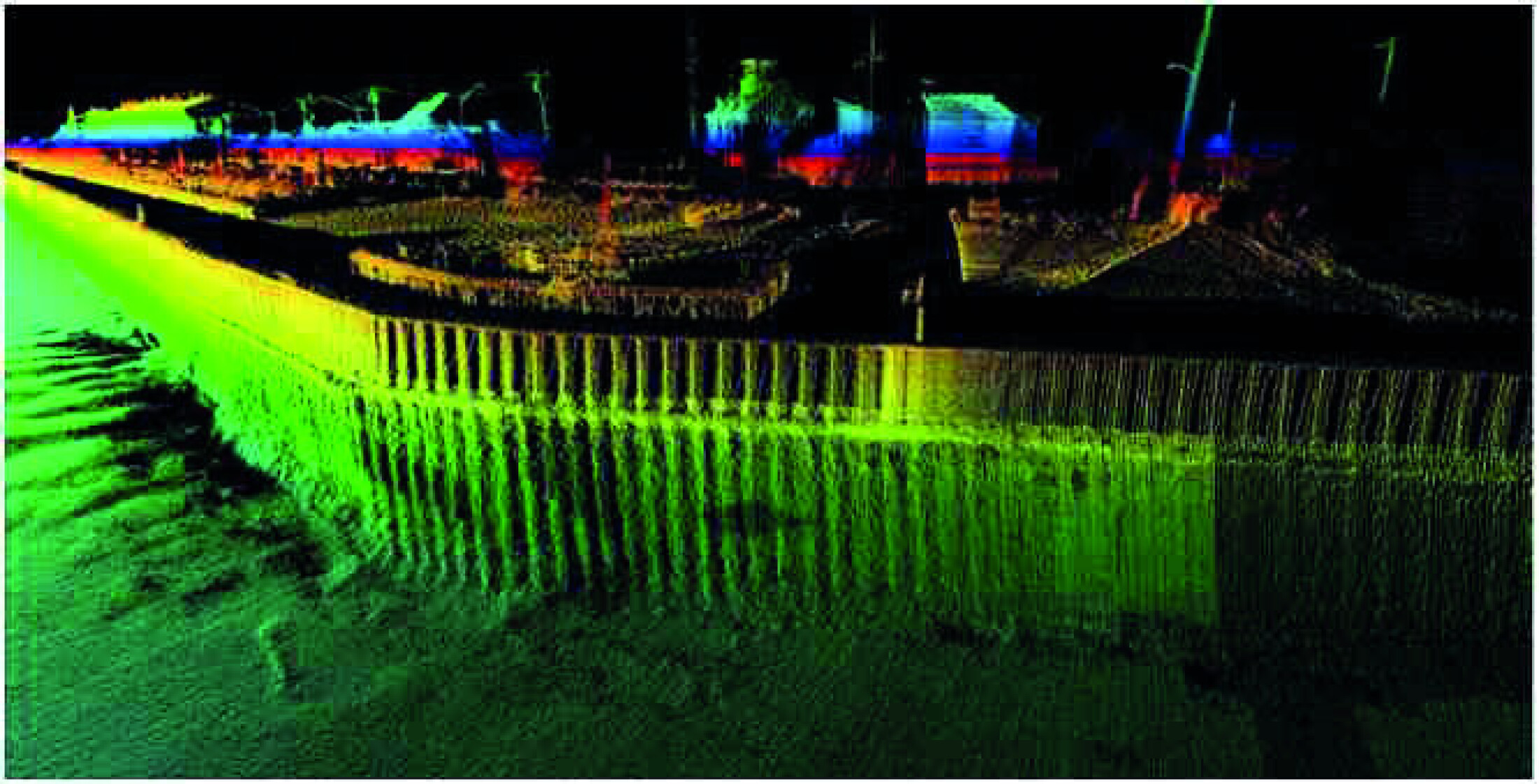
GEOxyz provides topographic surveying services. This involves the production of data & maps which are true to scale. Fully automated and digital data capture with the correct coding enables surveys to be easily processed onto the correct layers on return to office, thereby shortening survey turnaround times. GEOxyz surveyors are experienced in carrying out topographic surveys for waterworks, infrastructure, construction and civil engineering, property developers, utility companies, railways, pipelines, river surveys and other large projects.
• GPS navigation and surveys
• Survey of routes, highways, railways & infrastructure
• Industrial measurements
• Atimetry, 3D modeling, DTM, GIS
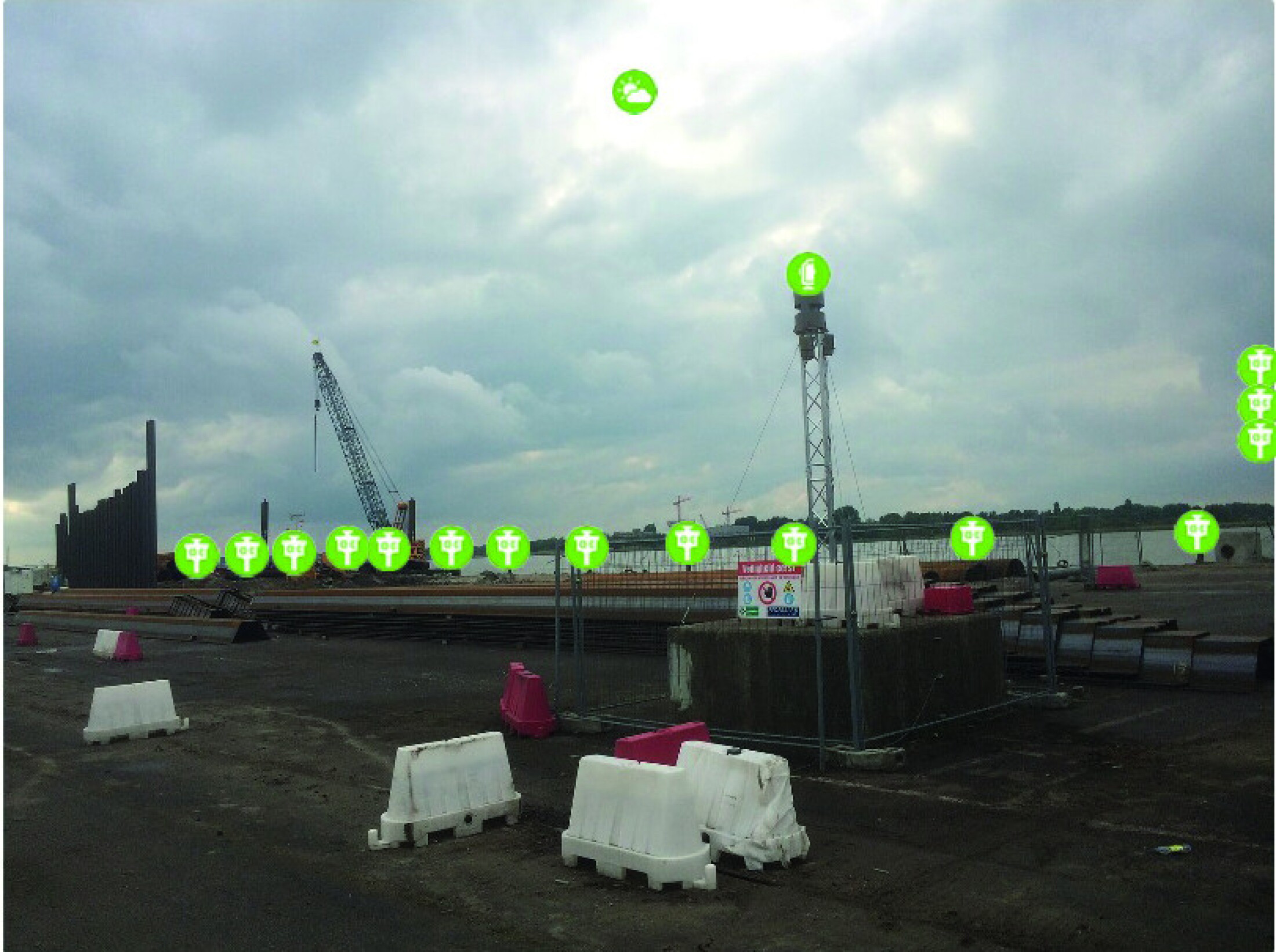
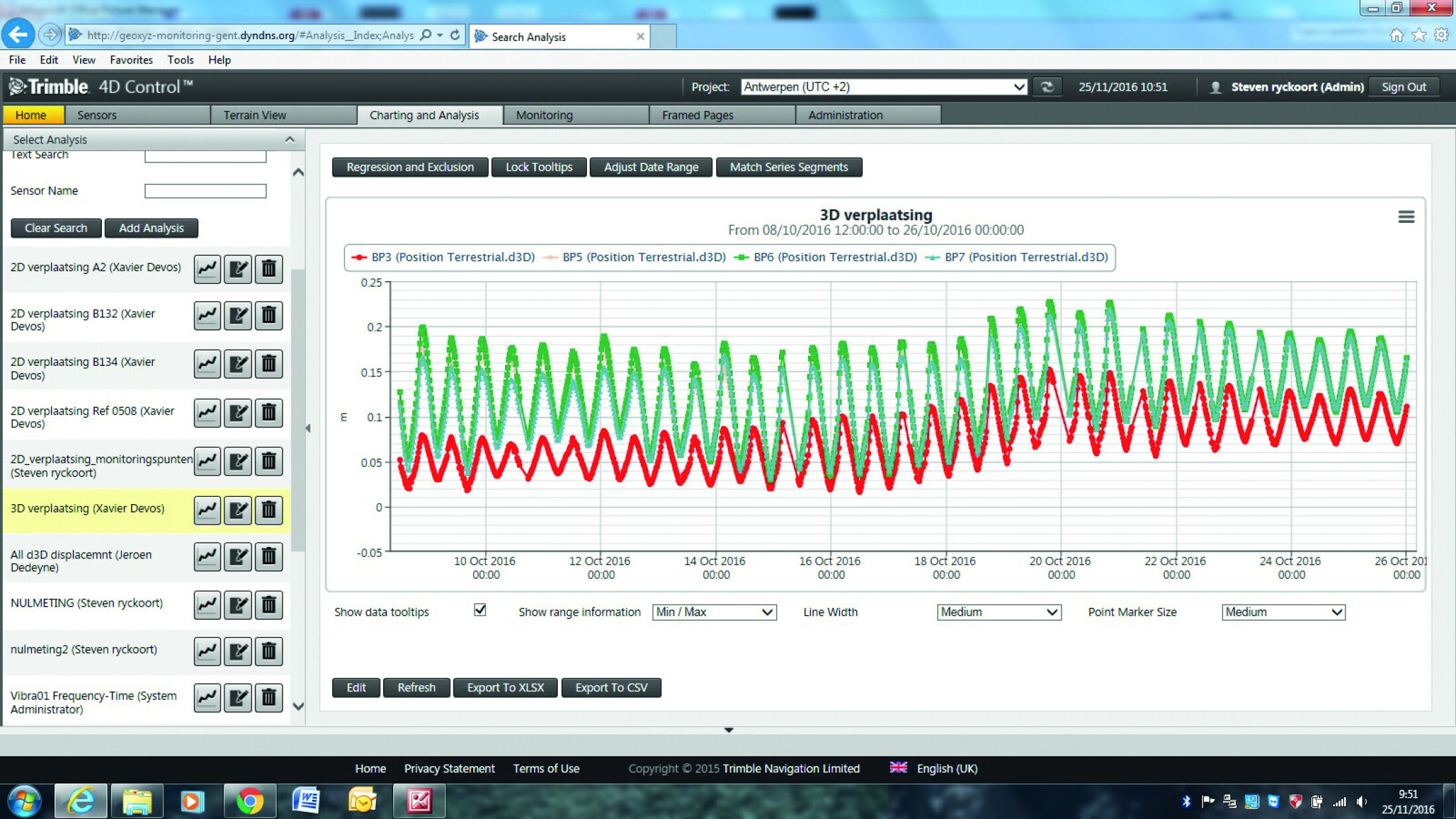
• Deformation monitoring and analysis
• Volume calculations
• Survey of existing situations for purchase & selling of property
• Building application
• Survey of facades and architecture
• Landscaping, environmental issues,
• Separation of properties,...
• Survey of sewer systems and infrastructures
• Appraisal of real estate
• General topographic support
• CAD


