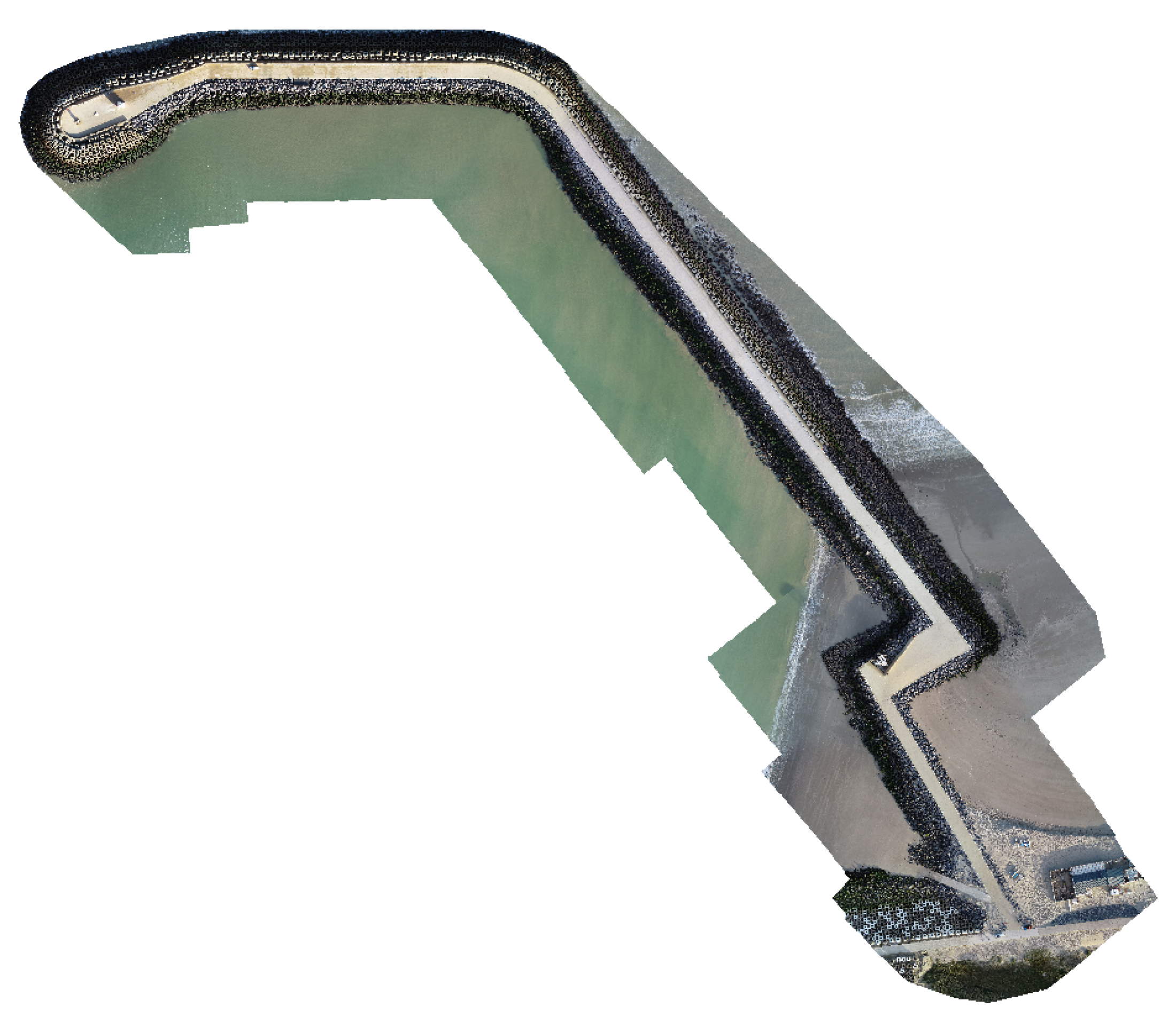
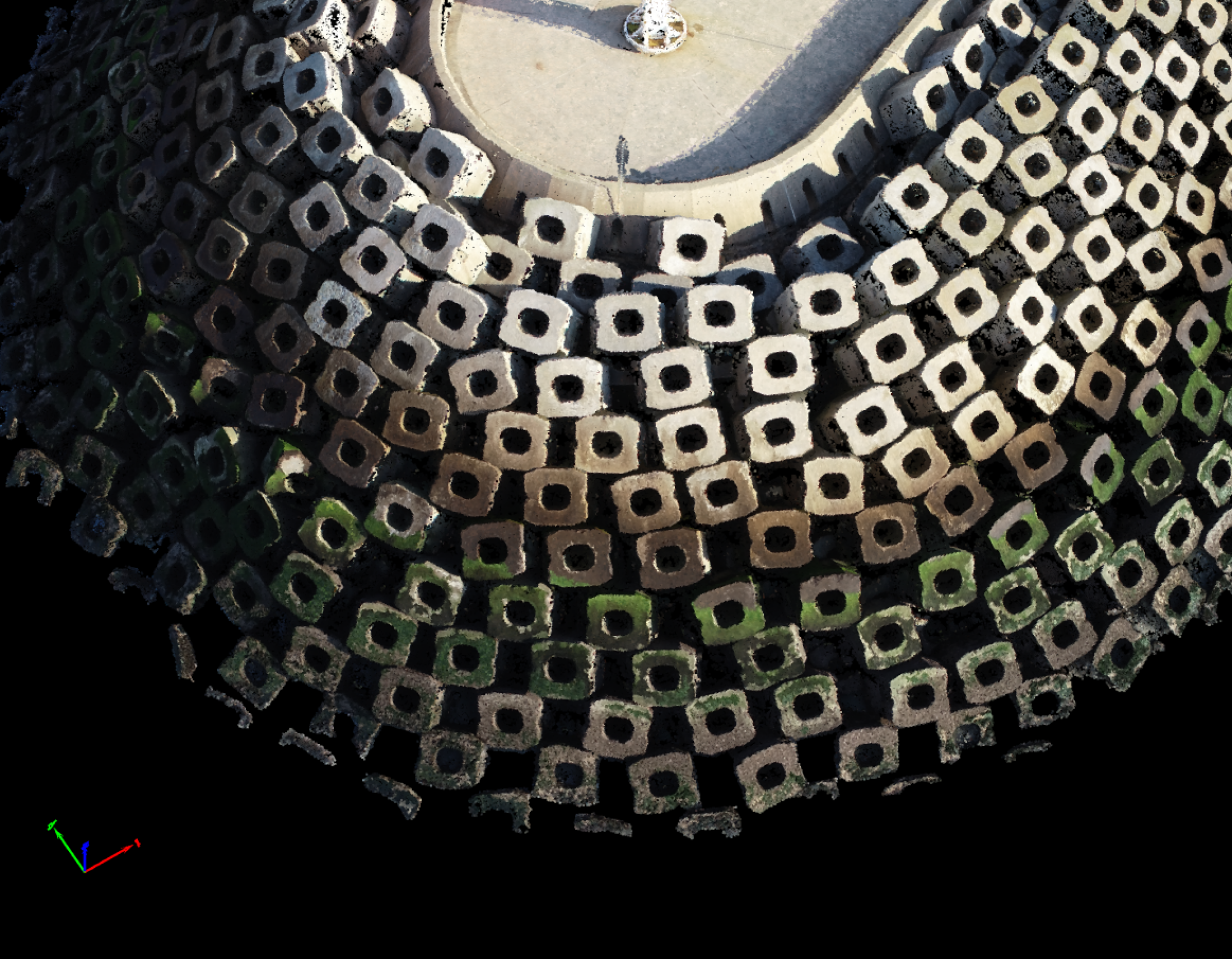
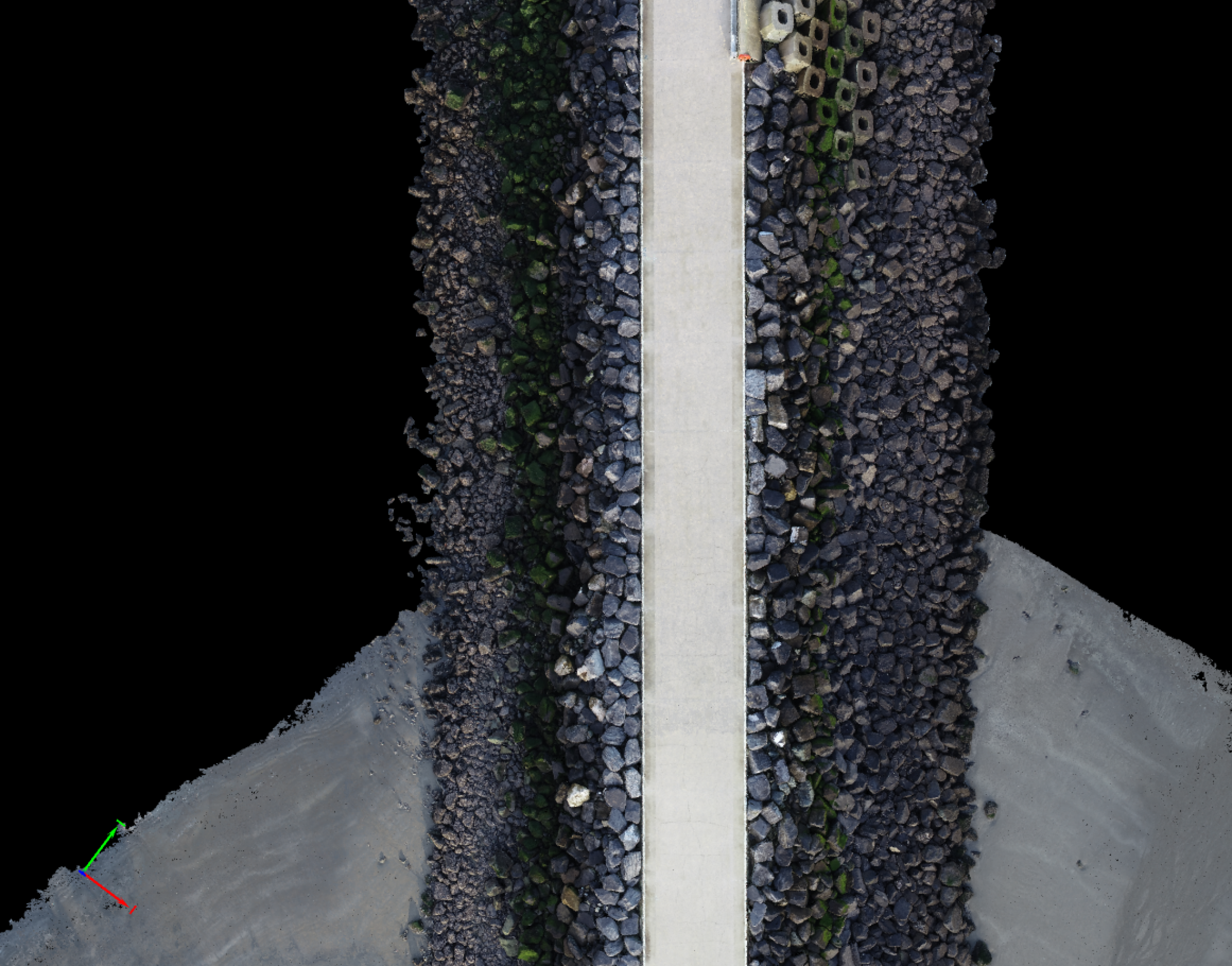
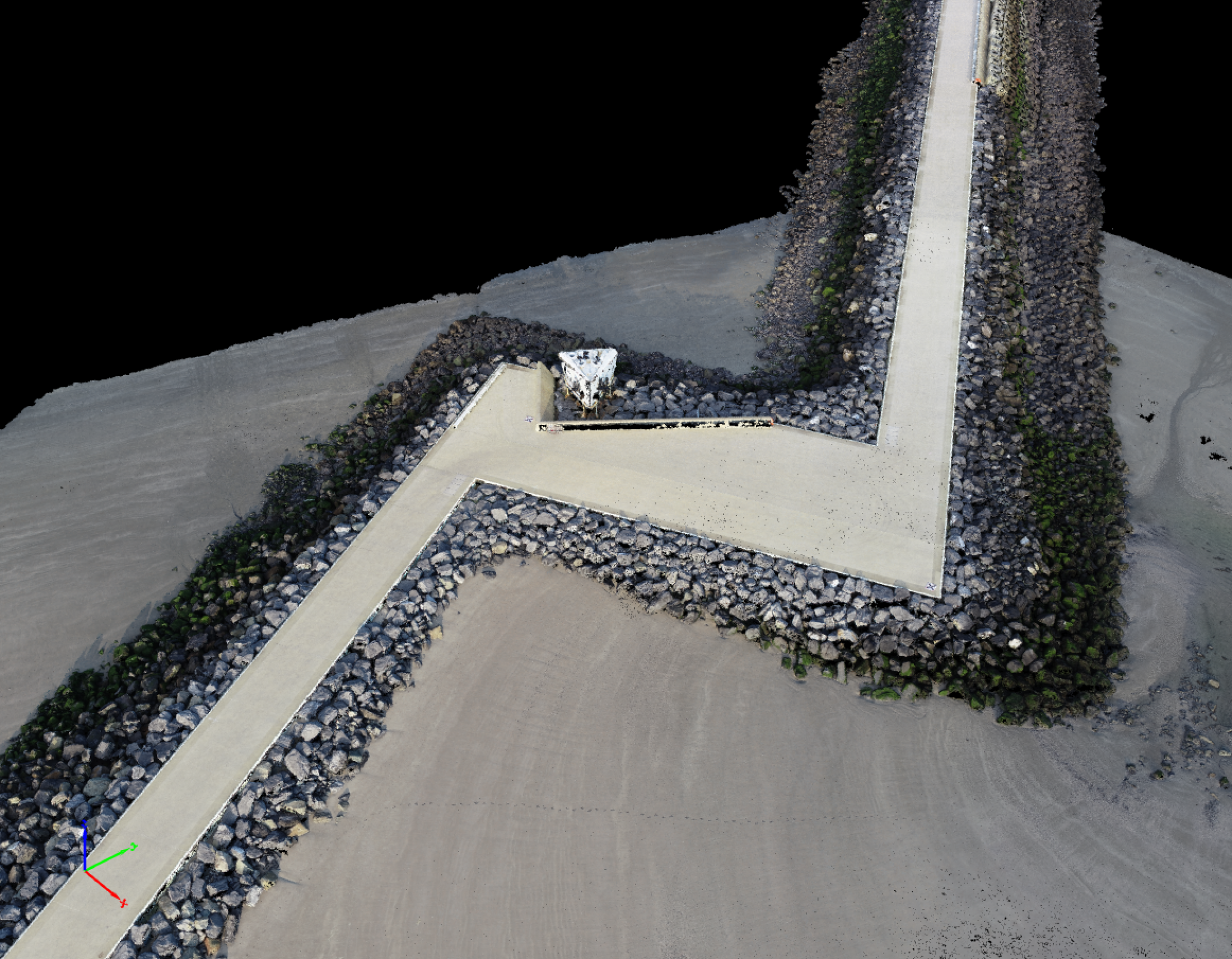
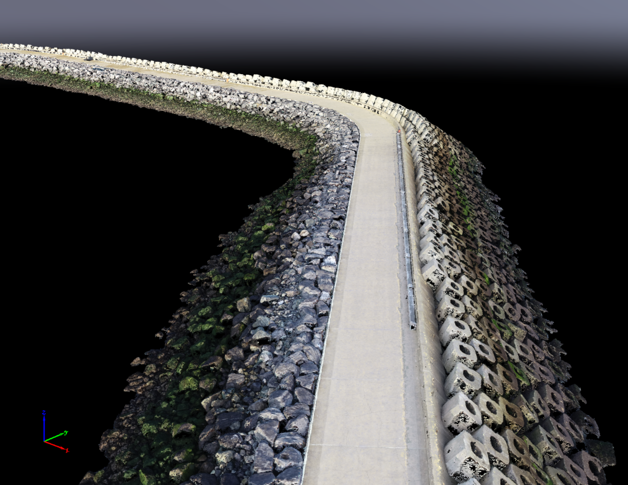
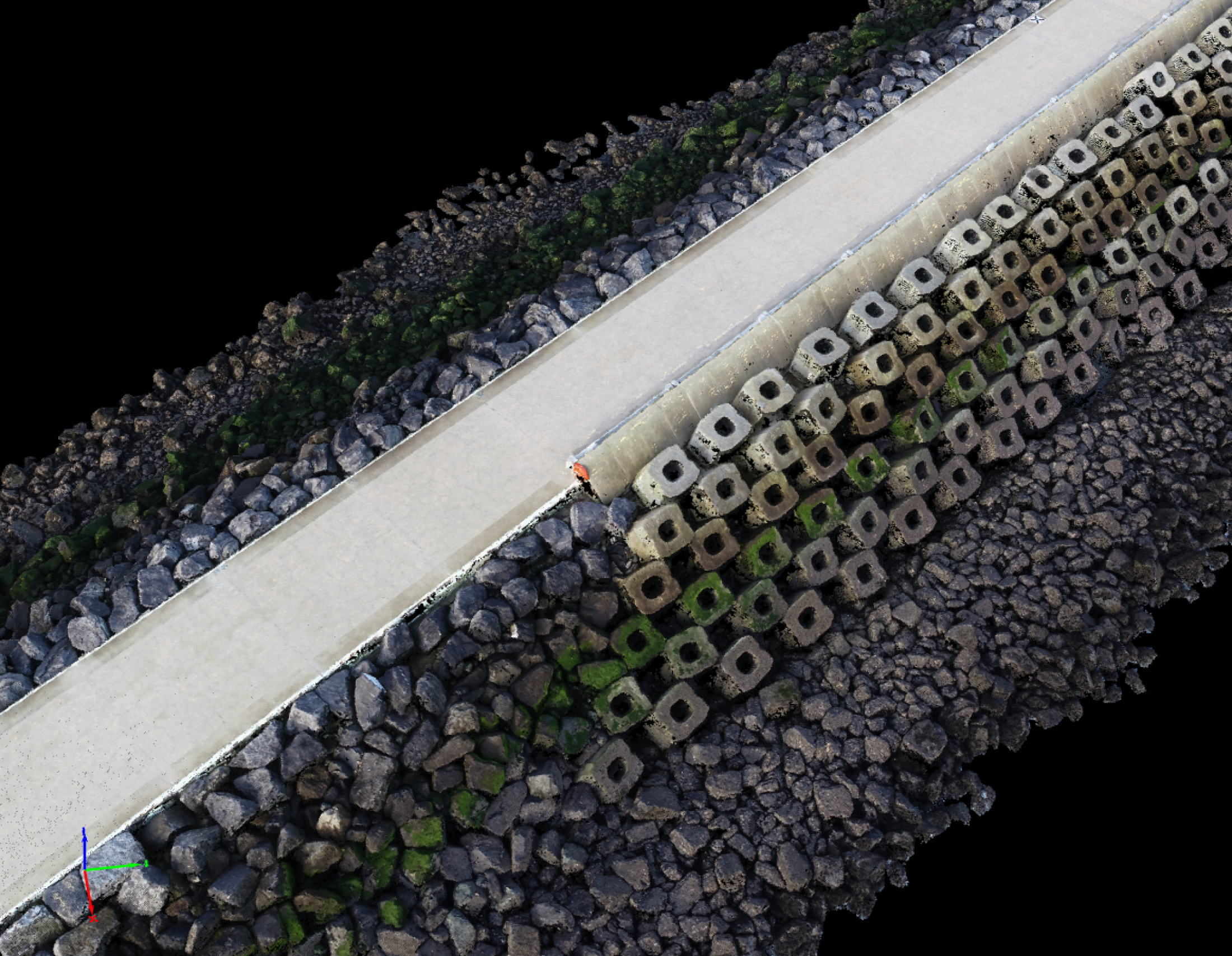
Stability monitoring by LiDAR.
LiDAR uses a pulsed laser to calculate an object’s variable distances from the earth surface. These light pulses — put together with the information collected by the airborne system — generate accurate 3D information about the earth surface and the target object.