Choose your language:
Land Survey

ASV - Autonomous Surface Vehicle

VLAIO5

MARINE SURVEY DRONE

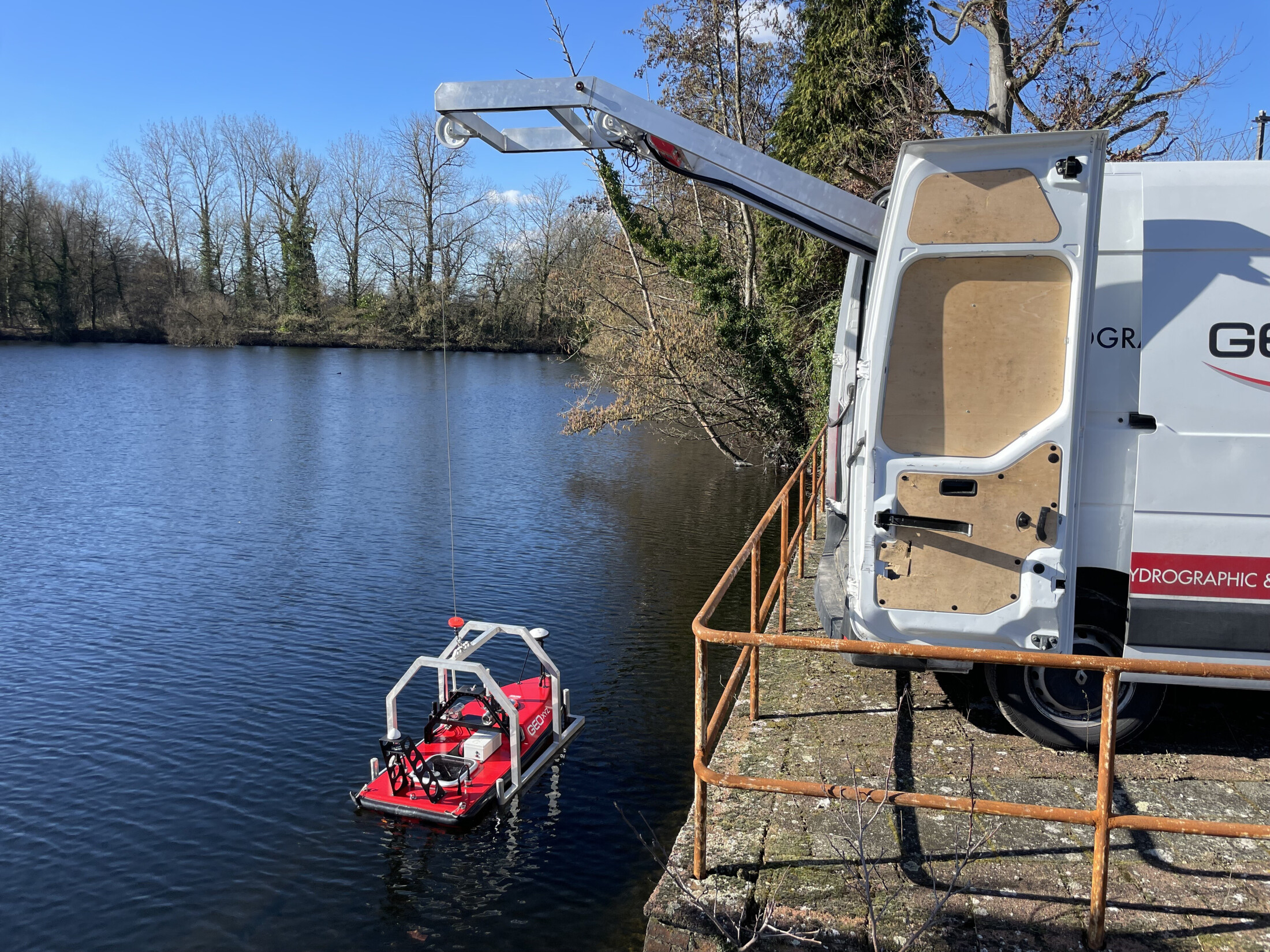
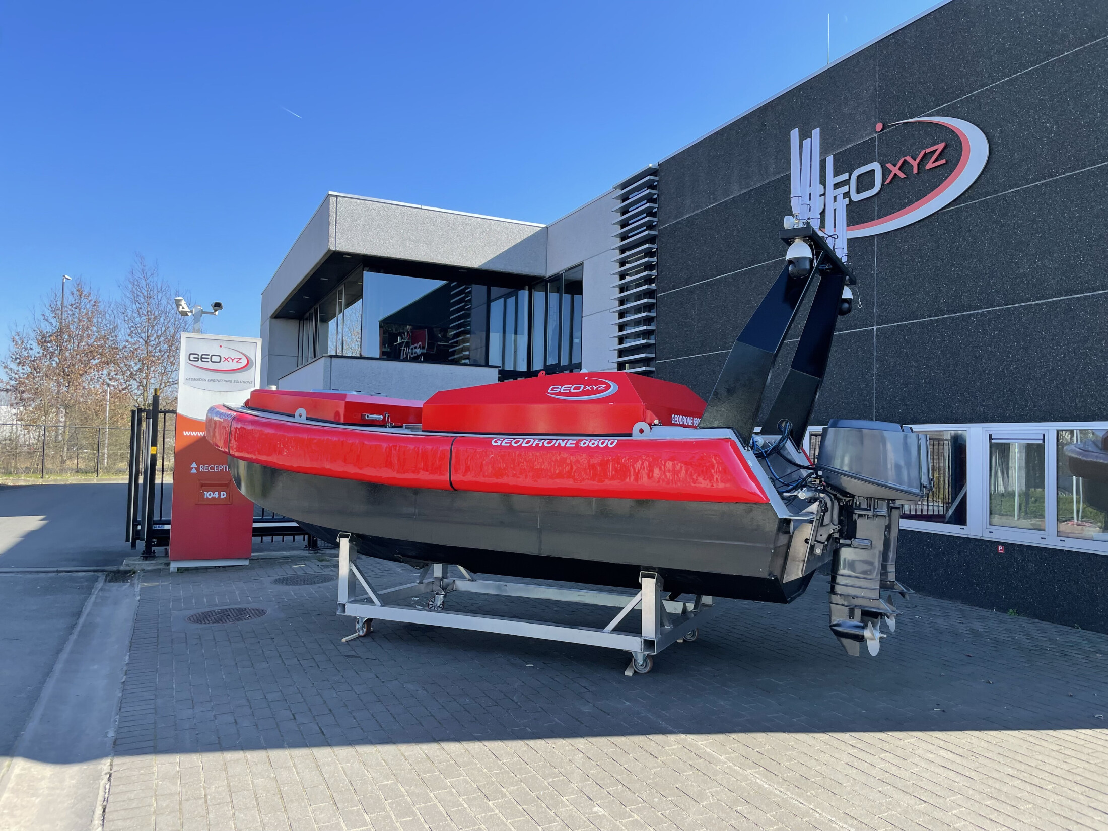
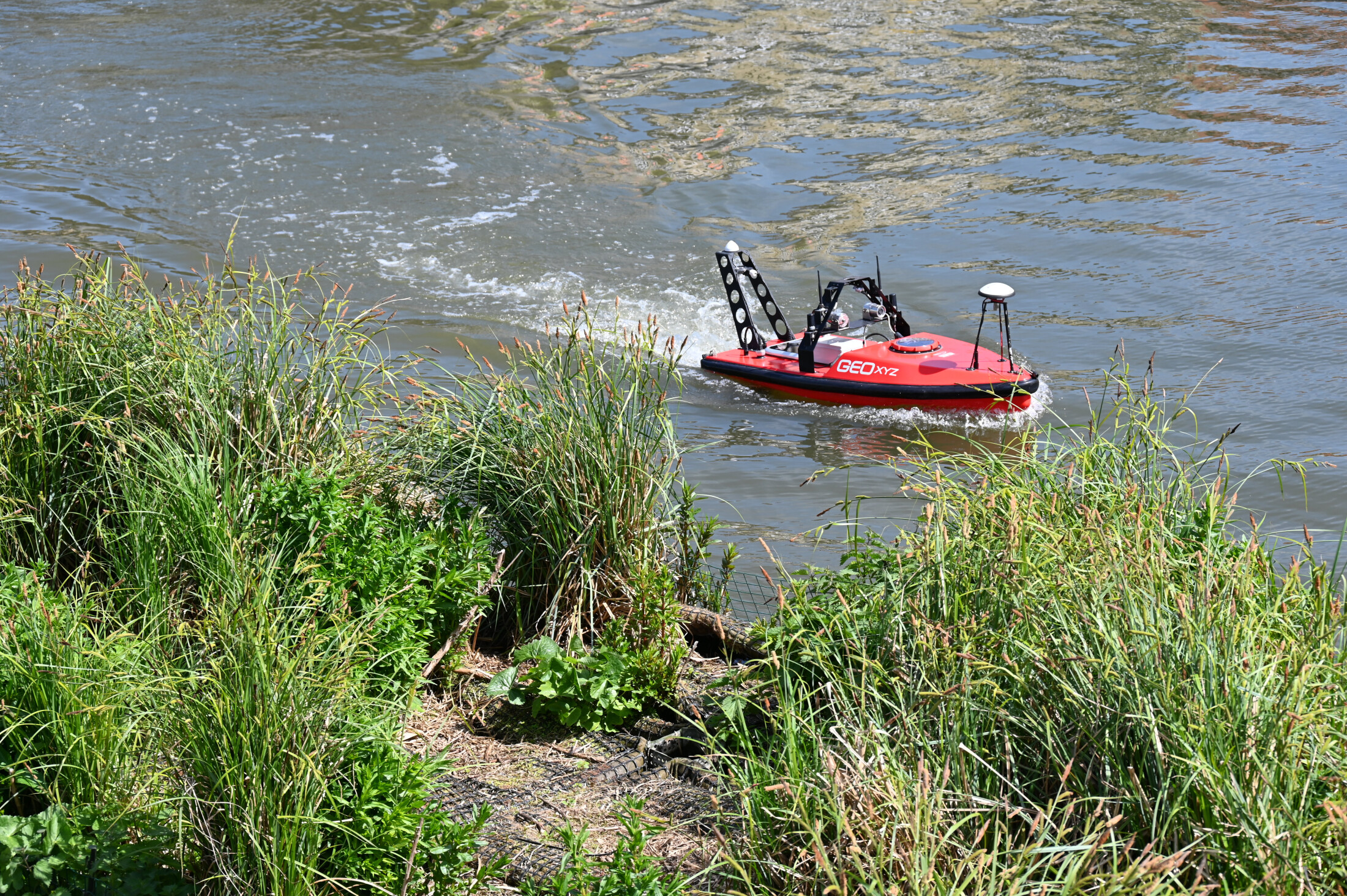
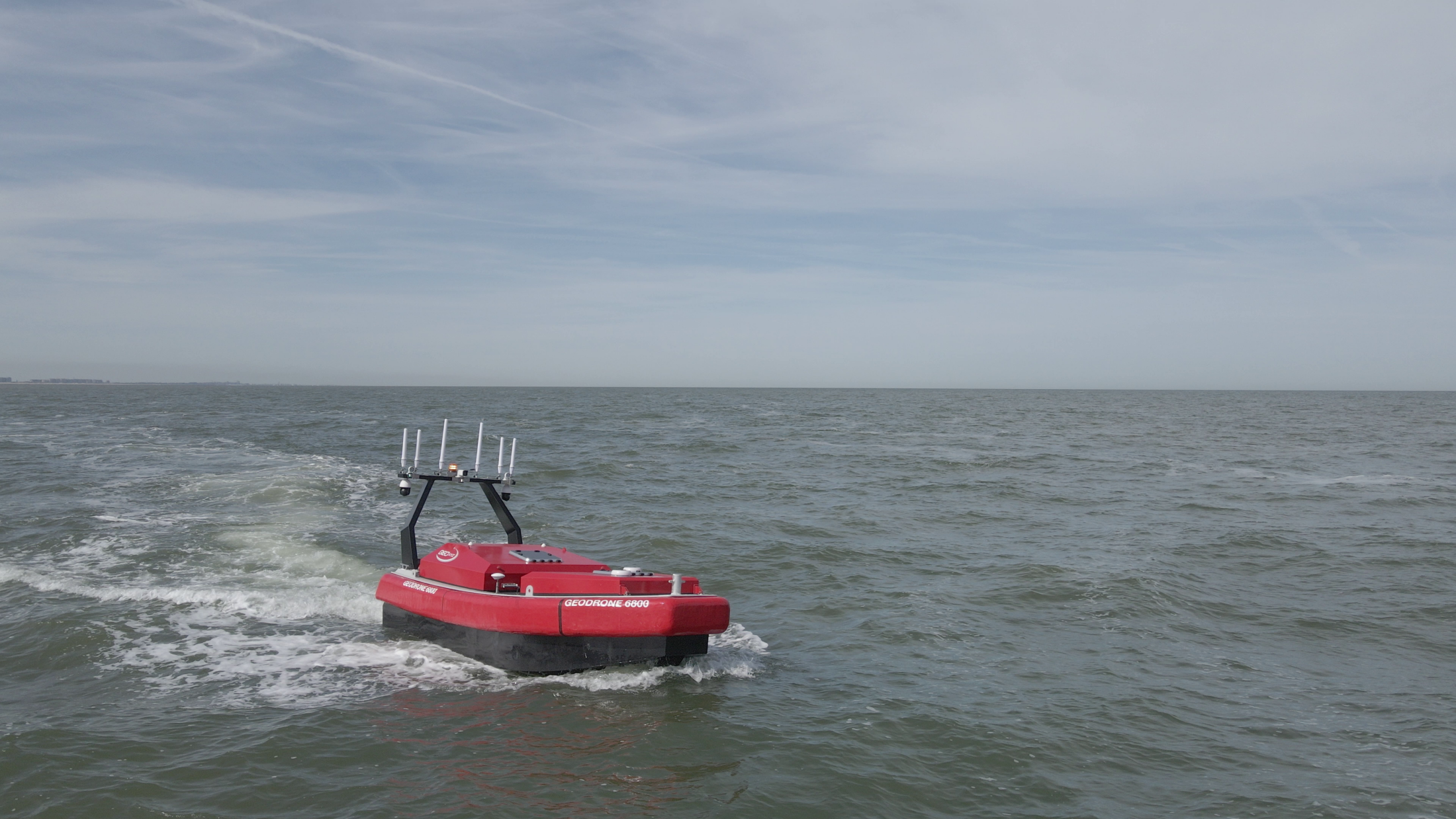
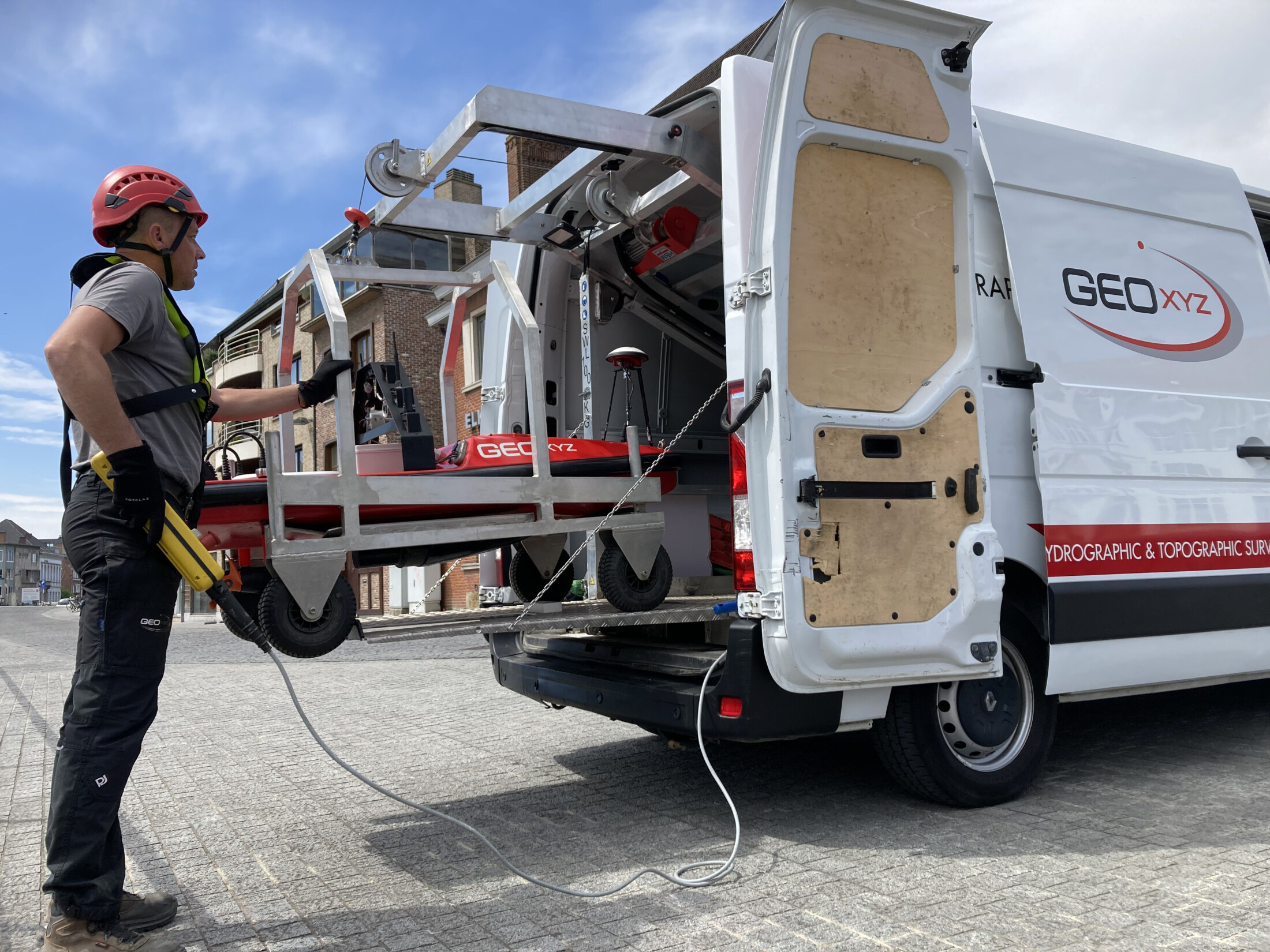
We at GEOxyz believe that with the development of maritime drones or Autonomous Surface Vehicles (ASVs), the way our data gathering is conducted is changing significantly. Drones have the potential to revolutionise maritime business, reducing the time, cost & danger of many operations, whilst improving the value of the data captured. Using drones for marine surveying is set to change the way we carry out surveys in the very near future. For GEOxyz that future is now. Accurate data concerning bathymetry as well as environmental conditions in shallow waters, can now be acquired using these specialist sensors integrated into drones.  We are therefore committed to developing our own USVs, which can carry multiple sensors. Smaller units can be used for inland, harbour and intertidal surveys, with the larger types often deployed offshore. In a first phase in support of manned vessels and later as an autonomous solution. On inland waterways, and lakes we use our USVs several times a week. They are greener, safer and faster.


22 05 6800 Seatrials

GEODRONE 6800 

GEODRONE 6800 is developed as an autonomous survey drone for offshore conditions.

The GEODRONE 6800 is deployed from an offshore vessel and can operate simultaneously with the mother vessel to increase the covered survey area and thus improve efficiency.

Read more:

Christophe Le Potier 5268

GEODRONE 3000 

GEODRONE 3000 is developed as an autonomous survey drone for Nearshore conditions.

GEODRONE 3000 is transported and launched from a custom built boat trailer or from a launch and recovery system (LARS) using the crane or A-frame on the vessel.

Read more:

DSC 4686

GEODRONE 1800 

GEODRONE 1800 is developed as an autonomous survey drone for inland conditions.

GEODRONE 1800 is used for small inland river, canal and lake bathymetric surveys. 

Our survey drone is launched with a LARS system built in our dedicated drone survey van. For harder to reach areas the survey drone can be launched from it's cradle with a crane.  Read more:

Portable Marine drone

GEODRONE 1300 

Our Lightweight GEODRONE 1300 was developed as an unmanned survey drone for hard to reach inland conditions. GEODRONE 1300 is used for small inland river and (mountain) lake bathymetric surveys. Our survey drone is one man portable to get to the most shallow and remote survey areas on the globe.

Read more: