GEOxyz performs Bathymetric surveys for Local Authorities, Offshore windfarms, Oil and Gas Operators, the Dredging & Marine construction industry and consultants. Once data is acquired, it is corrected for tide and finally processed before it can be used to produce precise bathymetric charts. GEOxyz strives to reduce processing time while maintaining strict quality controls, in order to provide our clients with accurate information as quickly as possible. To ensure the highest degree of accuracy GEOxyz conducts aggressive review’s, verification and certifications of hydrographic data. In order to sustain professional expertise throughout the process, starting at the very beginning of the data acquisition process on the water, we deploy expert hydrographers on our survey vessels.
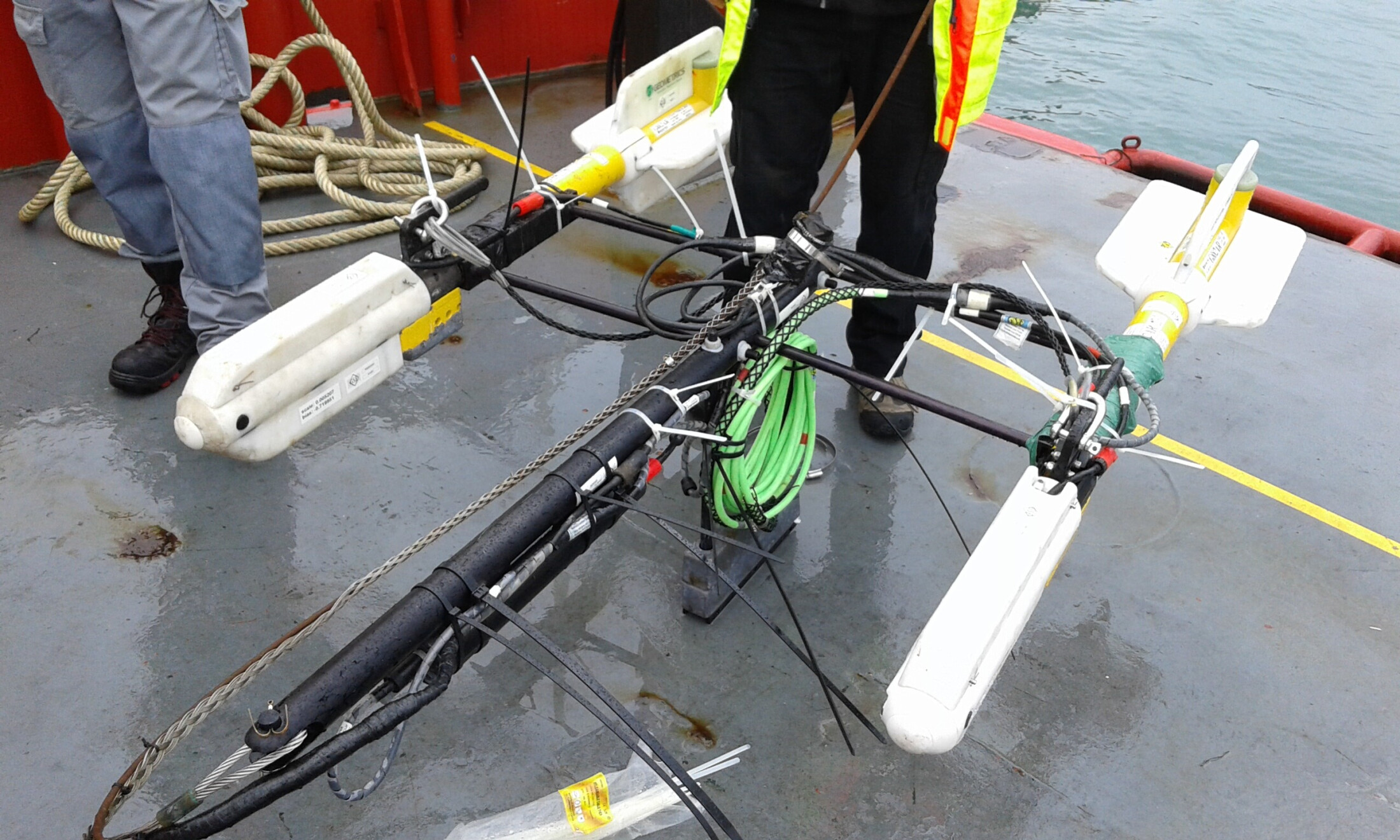
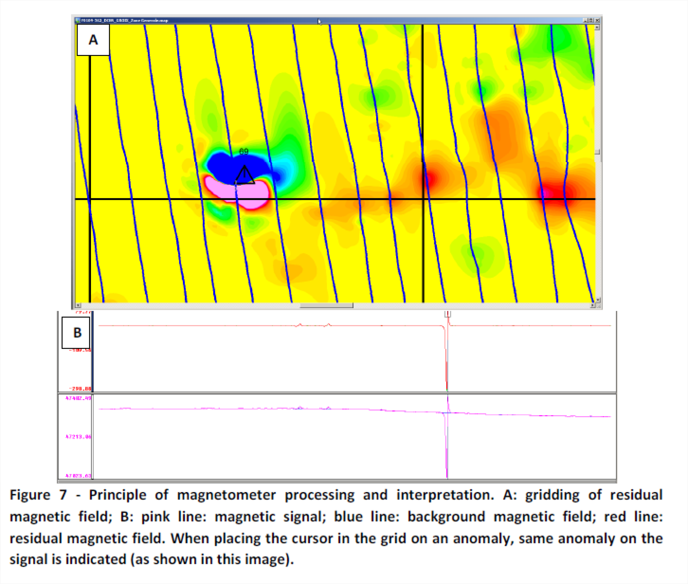
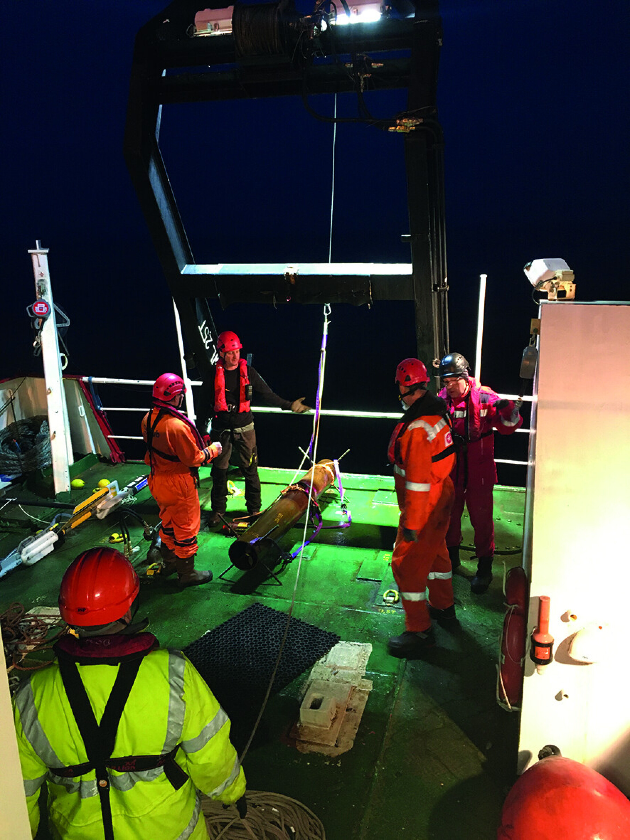
GEOxyz regularly uses magnetometry for the detection of ferrous objects both on the seabed and buried beneath it. Such surveys are typically conducted for the detection of metal debris, ammunition, pipelines etc.
This requires knowledge of:
• Principles of magnetometry
• Measuring anomalies in earth magnetic field = nT
• Anomaly measurement = amplitude and horizontal extension
As well as the location of magnetic anomalies, the surveys are typically able to deduce the mass and the shape of the object, the expected depth of burial and other parameters relating to the target objects.
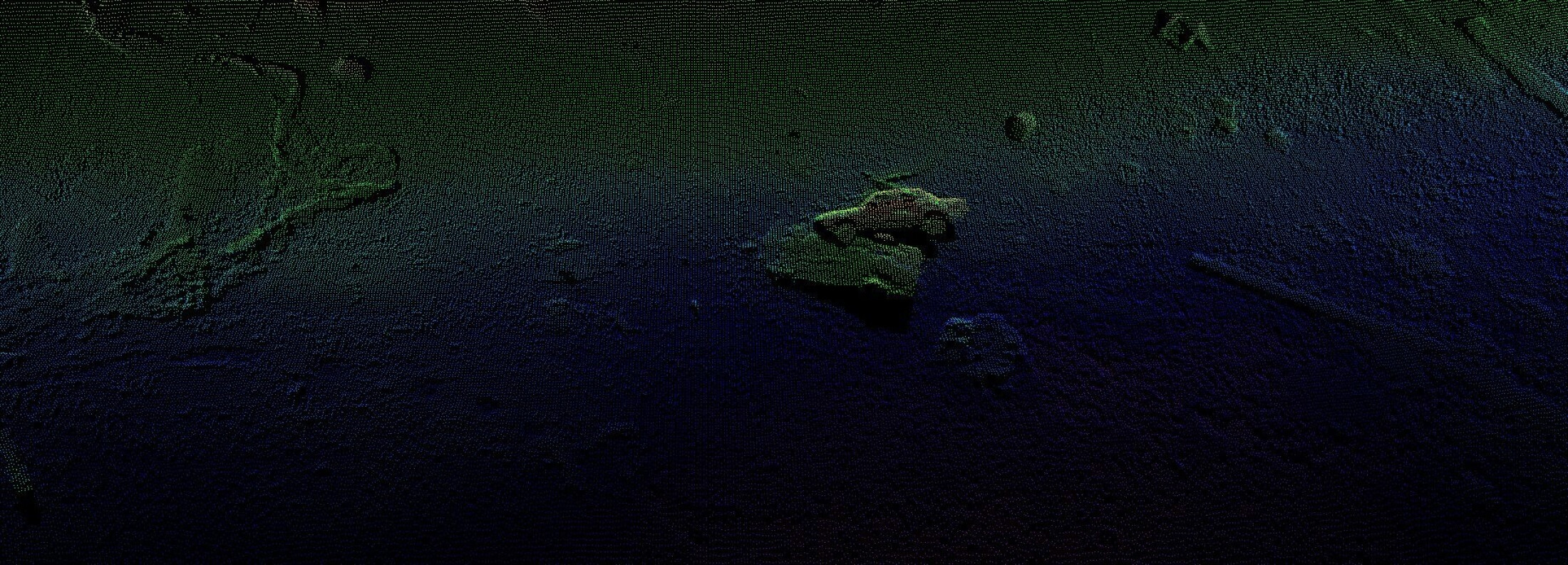
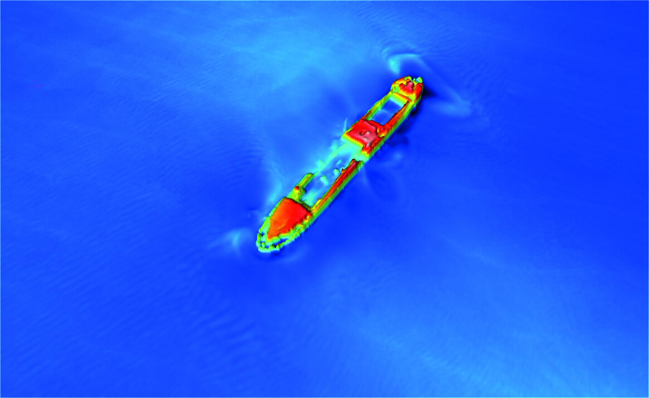
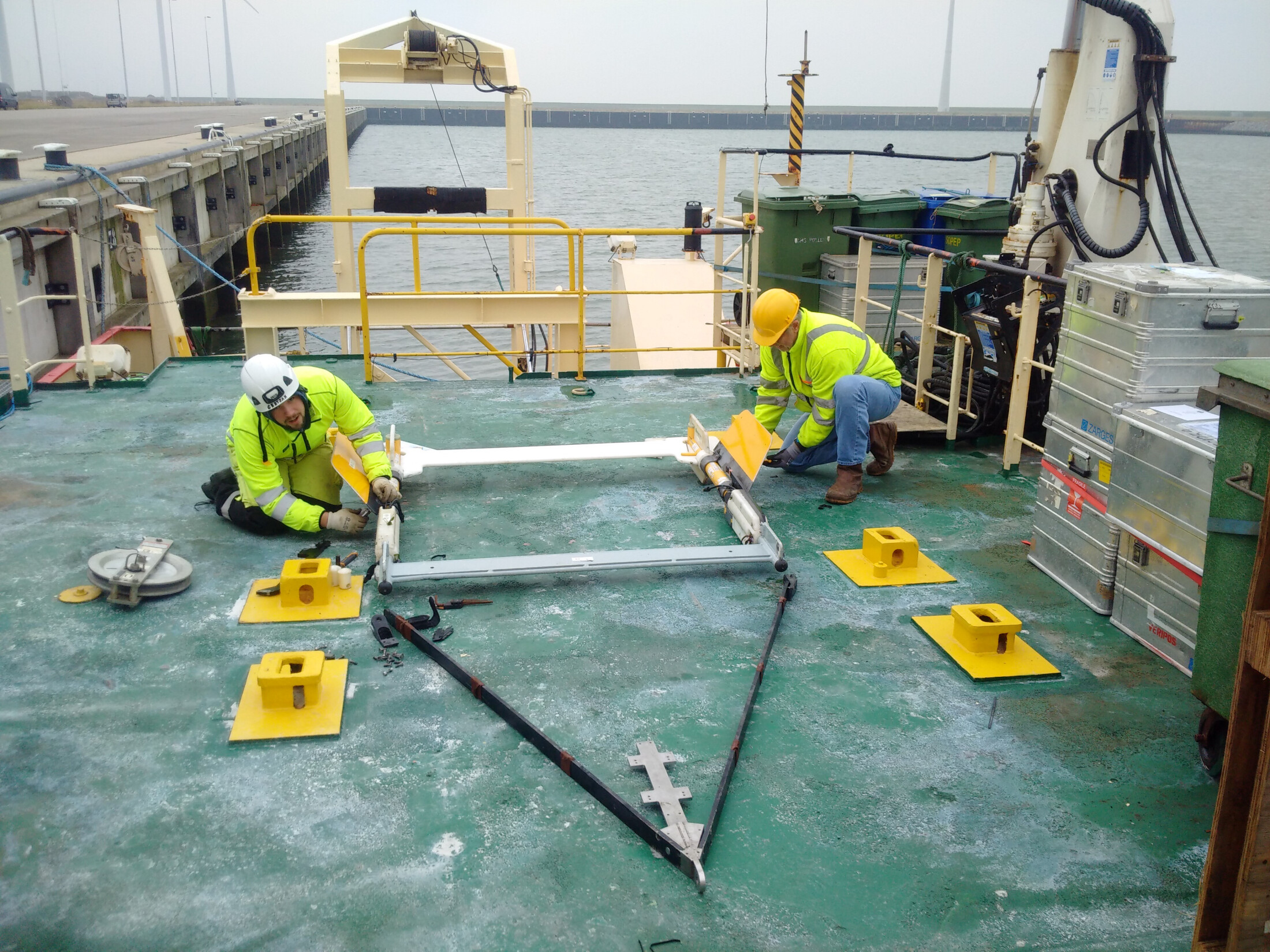
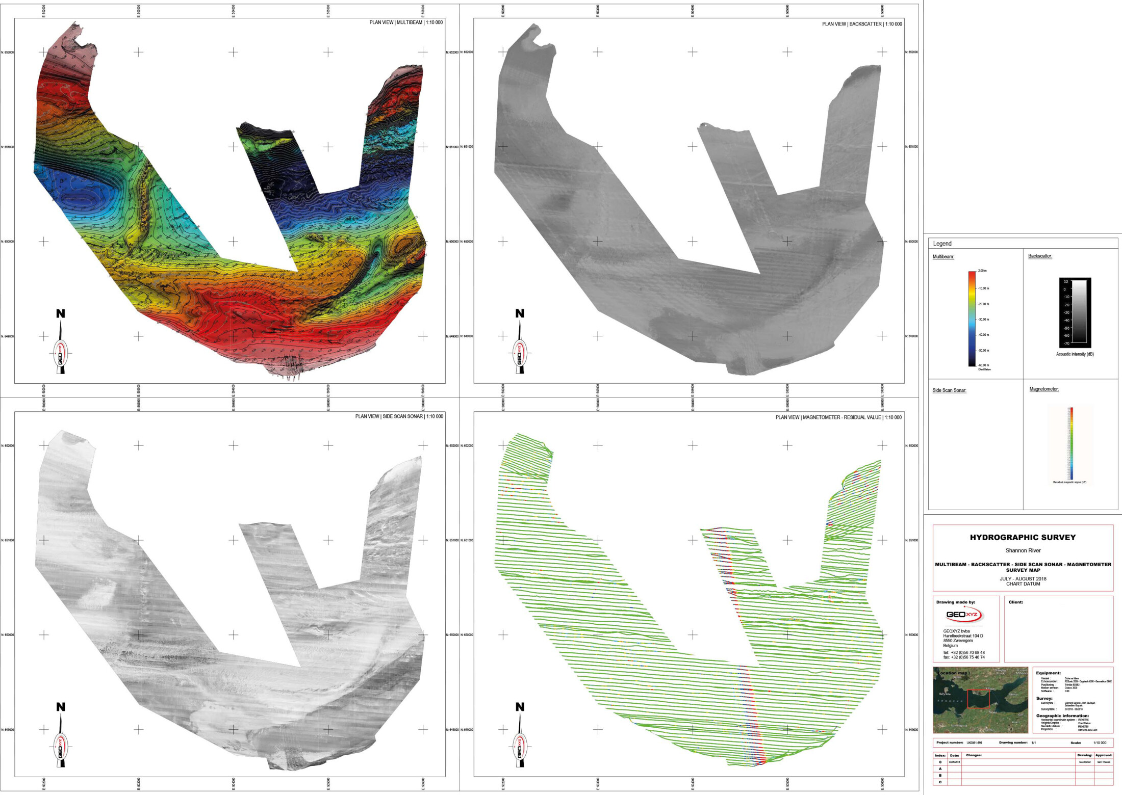
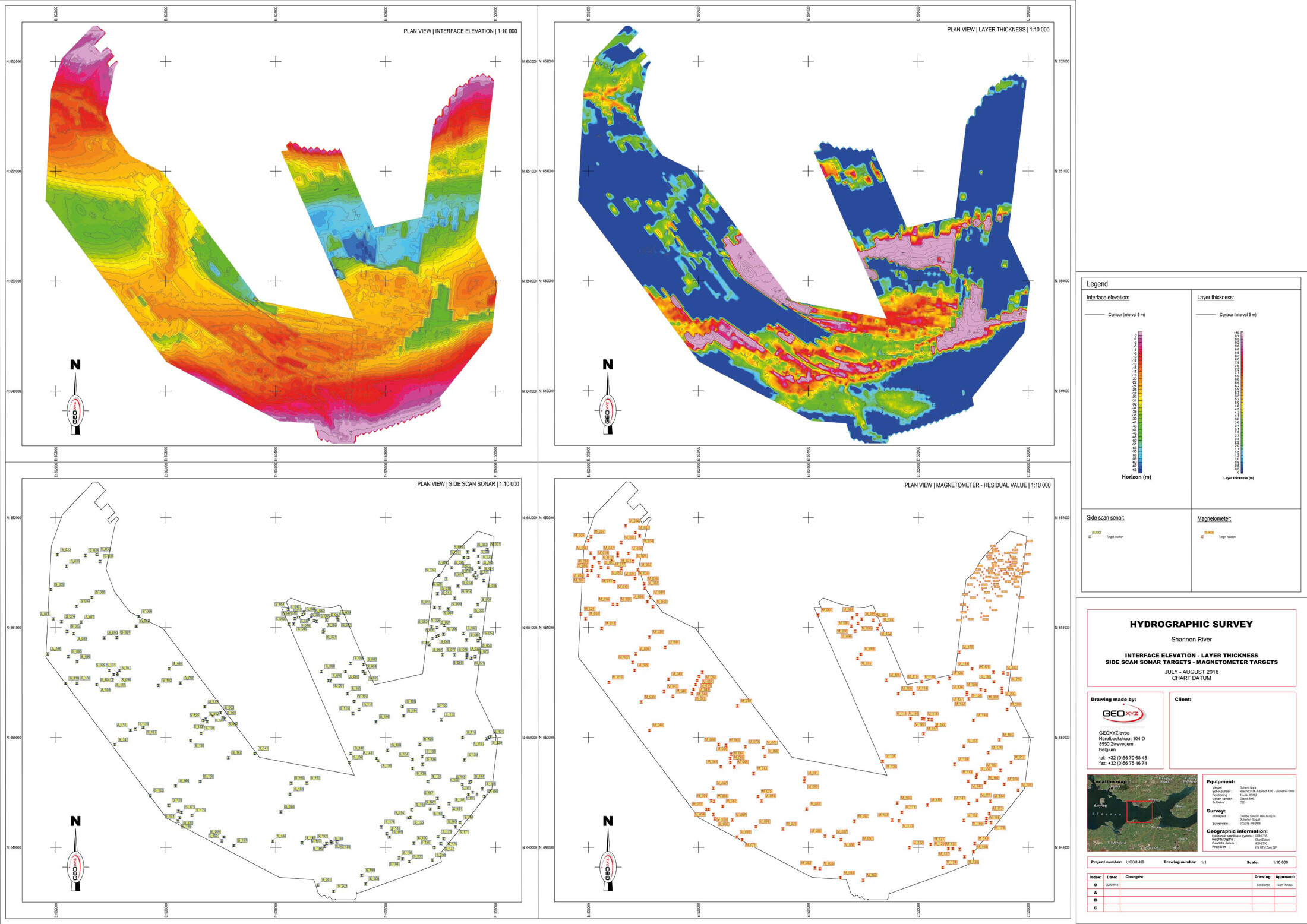
A side scan sonar emits an acoustic beam, transverse to the direction in which the side scan sonar is dragged through the water. After reflection on the seabed, this beam is then received again by the sonar fish. Depending on the composition of the ground matter on which the signal reflects, an image of the ground is built up, based on shadow effect. A path can only be acquired on either side of the sonar fish. No shadowing occurs under the sonar, creating a narrow blind sector between the two sonar beams. For a small range and a high resolution, high frequencies of 500 kHz to 1.2 mHz are used. Lower frequencies from 50 kHz to 100 kHz give a much greater range, but less resolution.
The applications of the side scan sonar are:
• Detection of obstacles;
• Detection of lost cargo and ship parts (anchor, anchor chains);
• Inspection of pipelines, subsea protection frames, underwater platform structures, telecom cables;
control of bank and soil protection;
• Wreck investigation;
• Support and control for work on the underwater infrastructure;
• Fisheries research;
• Habitat mapping.
The quality of the sonar registration is partly determined by the wind and currents in the work area. The soil conditions, presence of obstacles, soil disturbances, depths/shoals and hard/soft sediment are decisive for distinguishing the objects to be investigated.

