Drone inspection in a leaking siphon.
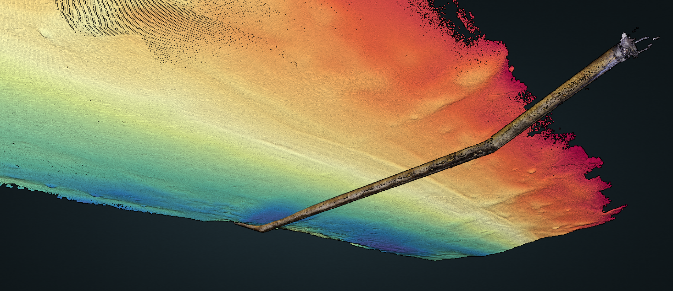
Using the multibeam data from Geosurveyor 9 and the video images from the Elios 2 Aerial drone we were able to make a 3D model of the the waterway and siphon below.
In combination with referenced topo points, we were able to position this complete model in the required coordinate system (lambert 72 system).
We performed a multibeam sonar survey of the canal with one of our trailer vessels to check if any anomalies could be detected within the area of interest. This clearly shows that the siphon is uncovered in the riverbed.
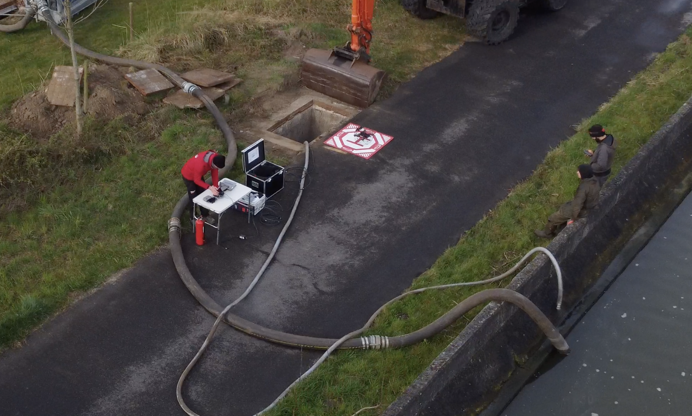
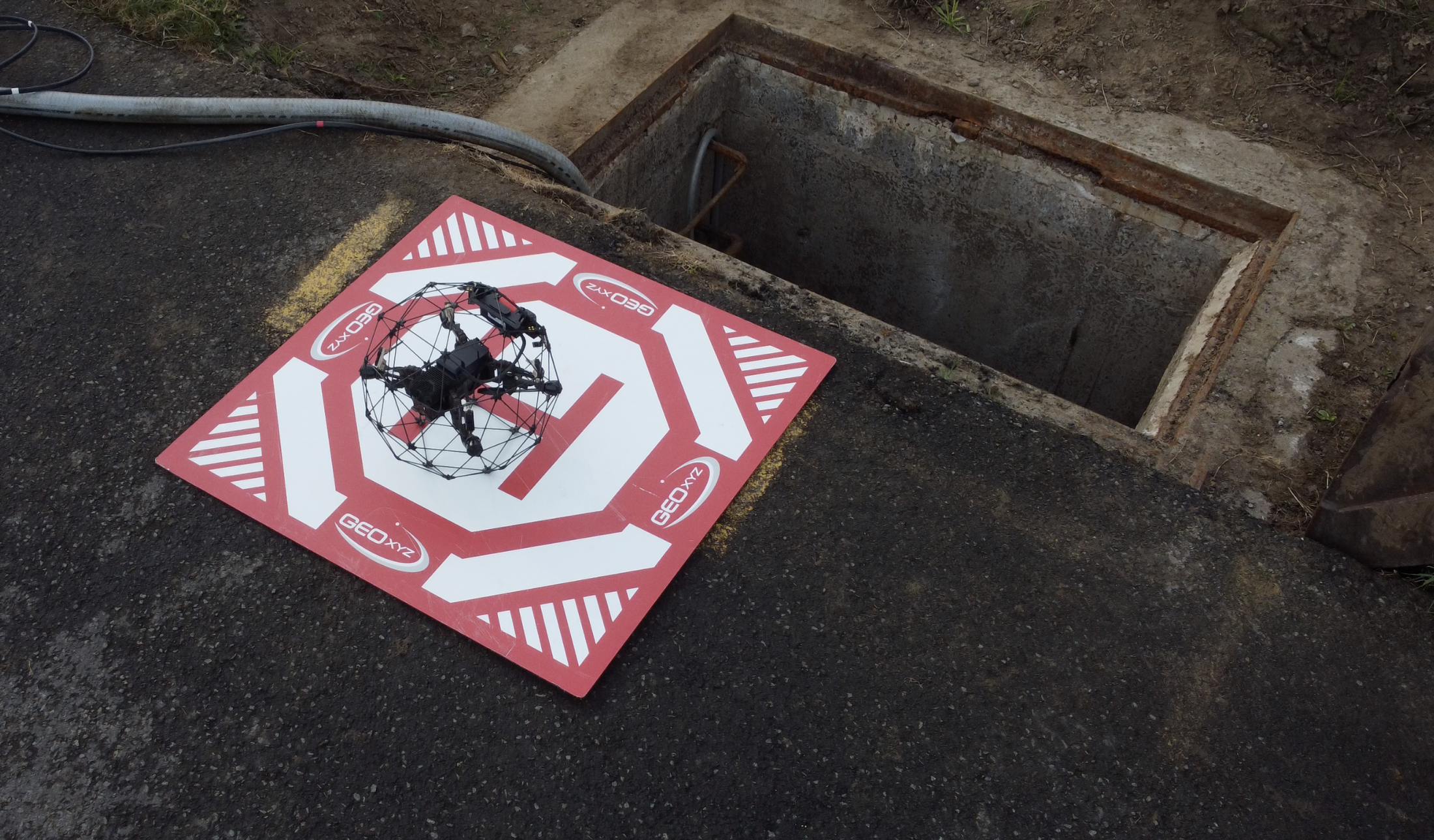
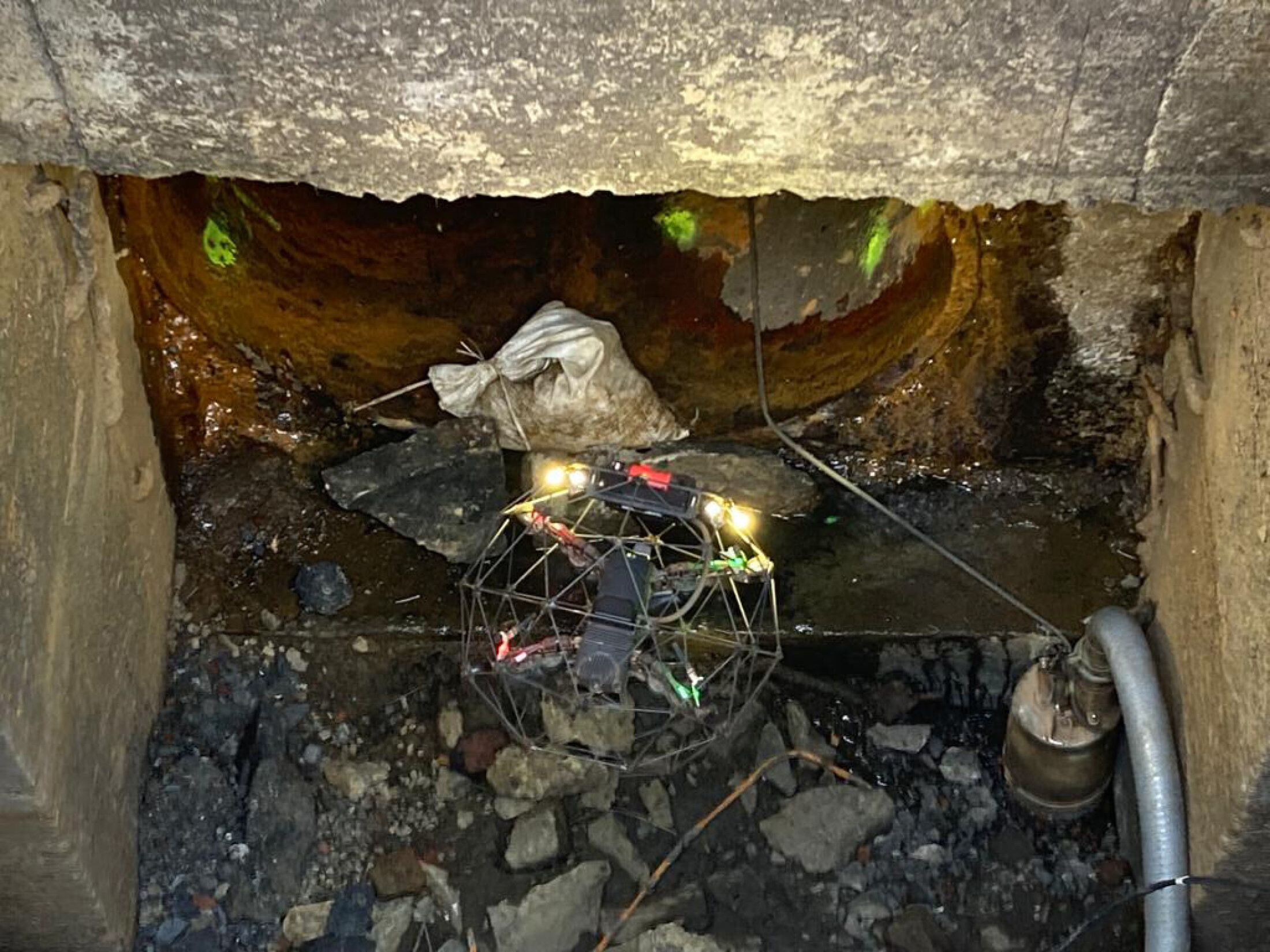
In a following phase we were asked to carry out inspections inside the siphons. These were to be pumped empty for cleaning and welding up bad spots. We then flew through them with the Elios 2 aerial drone.
After the reparations the Siphon was covered with rocks to protect it.
We did the out-survey to verify if the rock dumping was done to the specifications and tolerances from our client.
Combining bathymetric and aerial surveys, GEOxyz provided a complete solution for it’s customer.
