Choose your language:
Projects

EDF | Surveying French hydroelectric dams

France

Client Electricité de France (EDF)
Industry
 Renewables
Services
Bathymetry & topography

Hydroelectric energy is the primary source of renewable energy in France. With 20 GW of installed capacity and almost 10% of its electricity supplied by hydroelectricity, EDF is now the leader in hydroelectric energy in the European Union.

To keep their hydroelectric dams in top-notch condition, EDF contracted us to do comprehensive bathymetric and topographic surveys of multiple hydroelectric dams across France.

20220630 094214


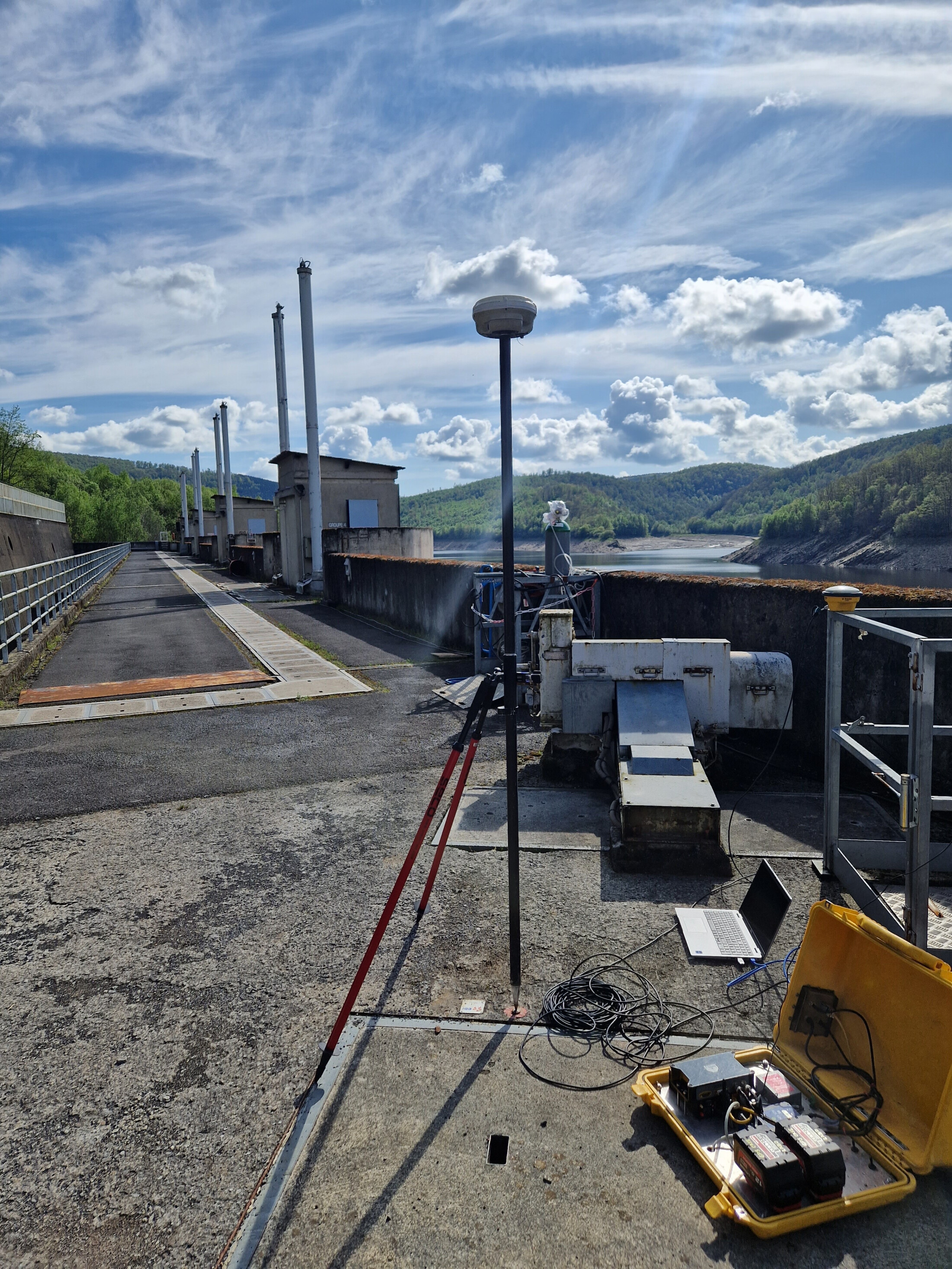
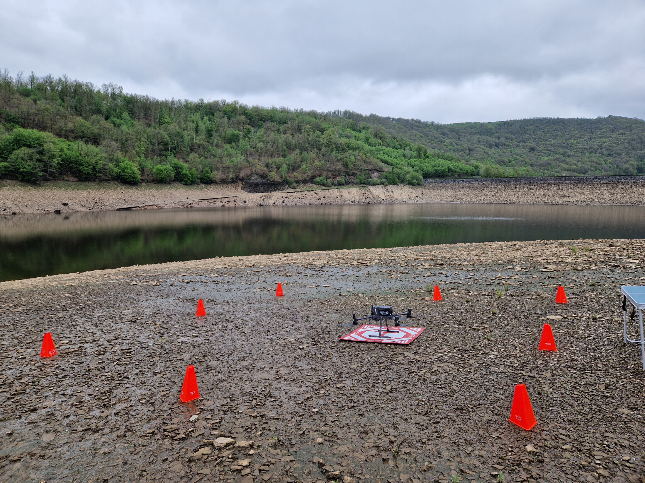
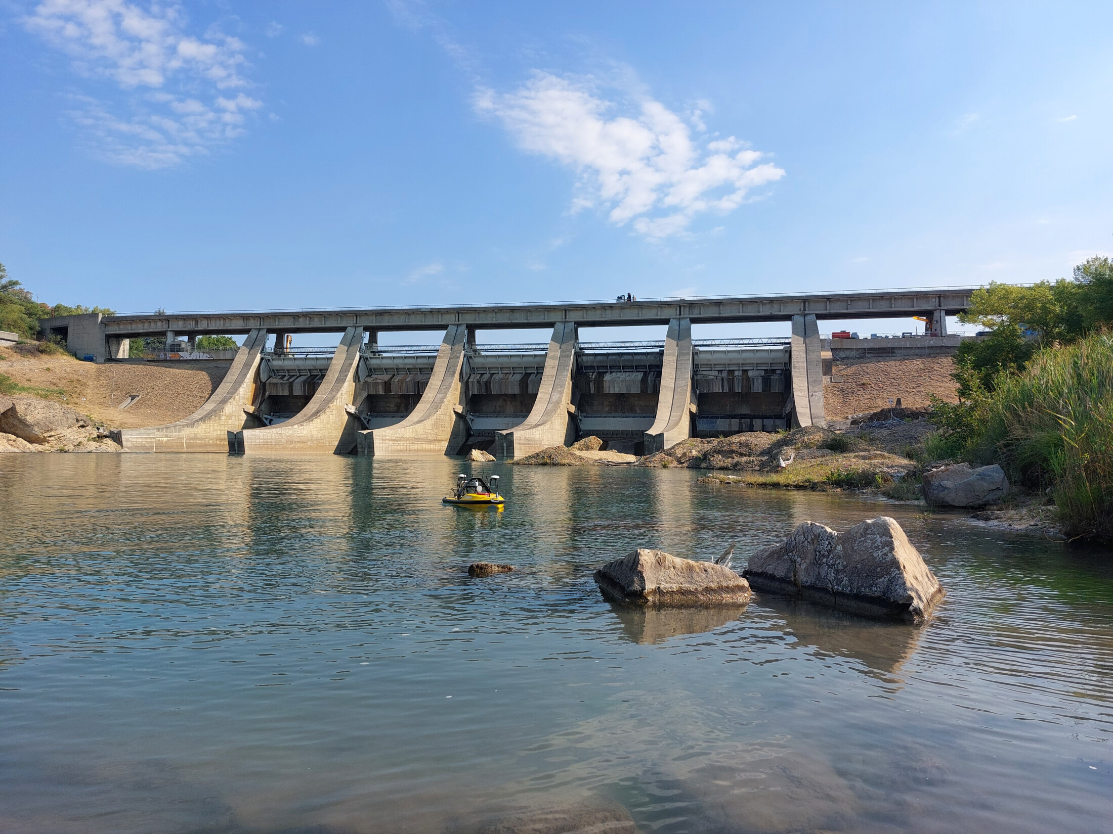
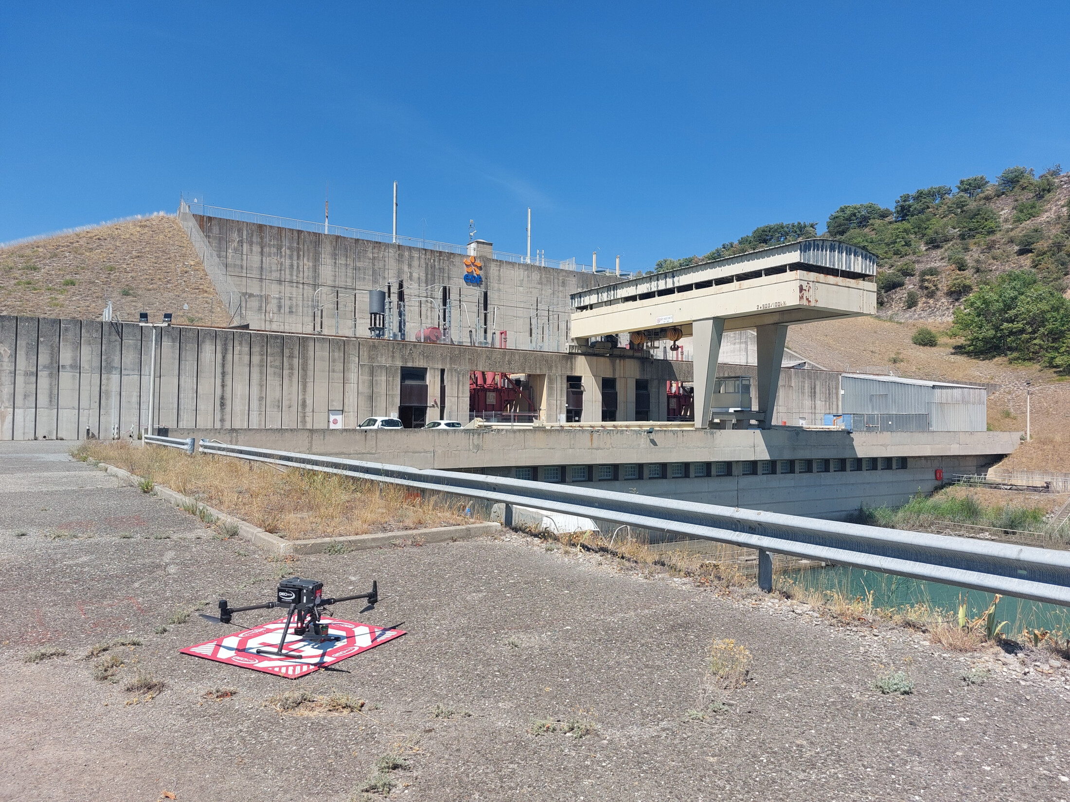
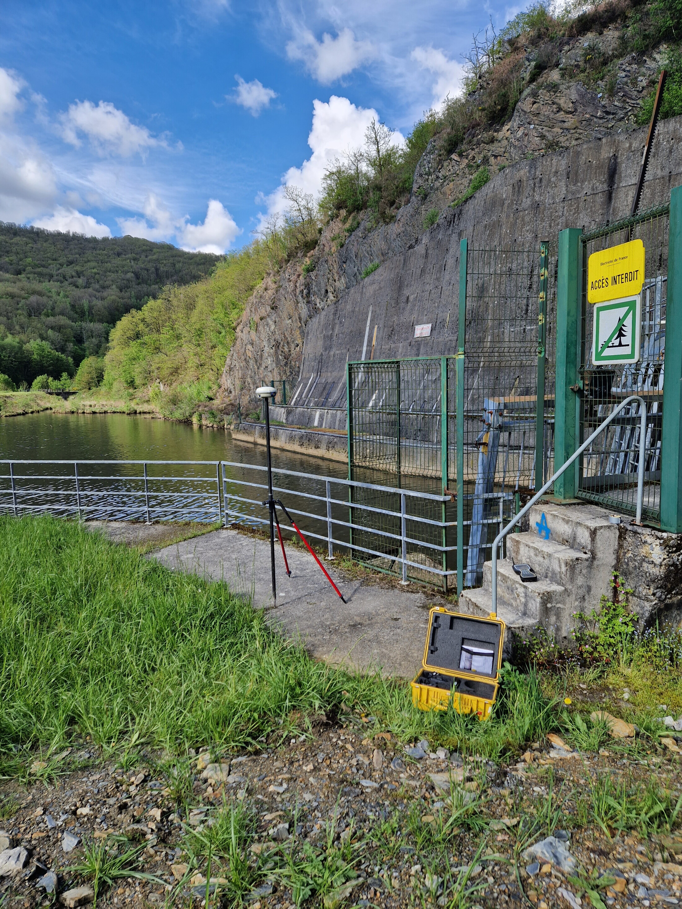
Use of drone technologies To fulfill these surveys effectively, we implemented the use of two types of drones; our marine drones and aerial drones. 

Our marine drone Geodrone 1300 and Geodrone 1800 were used to obtain bathymetric data under water.  In the skies above, our DJI M300 aerial drone took flight, capturing data concerning the dam's immediate surroundings, and the broader landscape. 

This dual-drone approach enabled us to create just one dataset with both data under and above water, encompassing all relevant aspects.

Efficiency & safety Where able, working with drones is much more efficient & safer for our surveyors. Especially in hard-to-reach areas, our marine drones are seamlessly launched into the water directly from our specially-equipped van, featuring a Launch and Recovery System (LARS)

Our aerial drone was also launched from an onshore platform, enabling our surveyors to stay onshore for this project at all times. This method eliminates the need for surveyors to venture onto potentially hazardous steep areas, significantly enhancing safety protocols.