
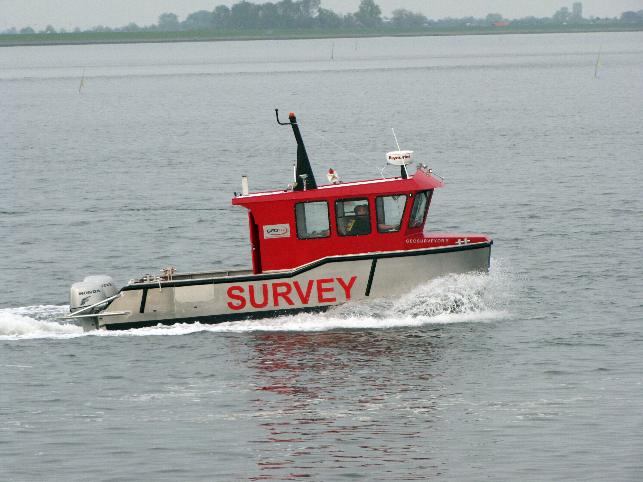
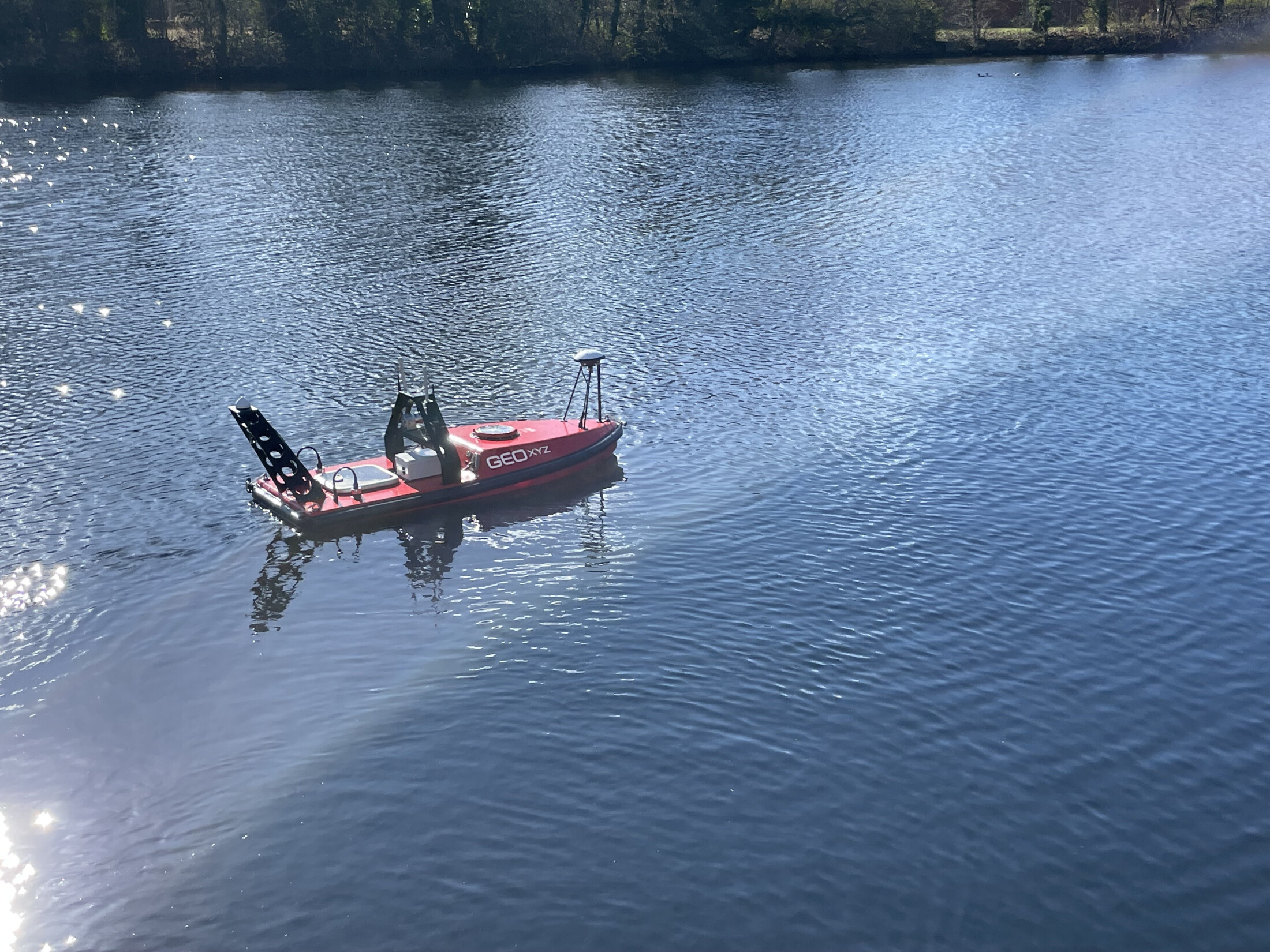
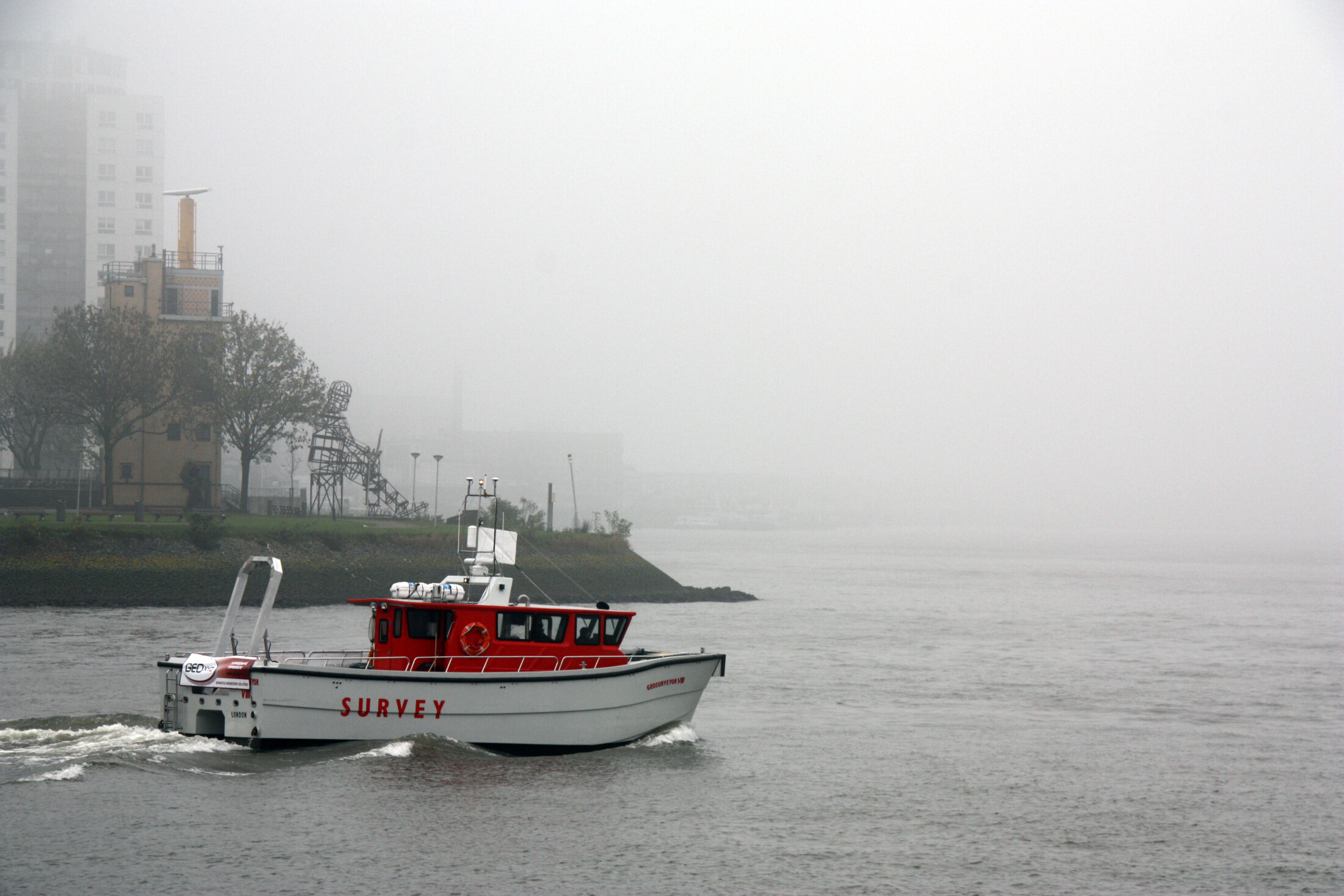
Flexible fleet
Over the wide variety of environmental conditions, GEOxyz has mobilized the Geosurveyor VIII and Geosurveyor V for the inland and nearshore sections. For the offshore works, the Geo Ocean III or Geo Ocean VI are scheduled. Ultra shallow waters and land sections will be covered by our Geodrone ASV and aerial UAV team. Operating our specialized fleet of owned survey vessels gives us the flexibility to comply with the survey area complexity, as well as with the required permits for legislation.
Geotech
Further specific aspects to the project, are the required 10 m penetration depth for geotechnical sampling. We introduced a novel technique in the marine environment to acquire high quality samples. The potential presence of unexploded ordnance, including suspected presence of aluminium sea mines, is a risk aspect our company is highly capable of dealing with through our in-house UXO consultant.
Minimizing risk
The aim of the surveys is to investigate the suitability of the envisaged cable corridor, establish the topography of the seabed and to identify obstructions in the corridor. Based on the acquired data, a geological model of the cable corridor and a resulting Burial Assessment Study (IBAS) will be supplied. This study shall determine the necessary technical parameters for cable design and installation methodology, thereby minimizing the risk of encountering unforeseen ground conditions during the cable installation process.