GEOxyz has been awarded a contract for a UXO ID & clearance survey by Les Eoliennes en Mer Dieppe le Tréport. The survey forms part of the ongoing Les Eoliennes en Mer Dieppe Le Tréport Offshore Wind Farm (OWF) project, which is one of the two offshore wind farms currently under construction in the Seine-Maritime department, France.
Les Eoliennes en Mer Dieppe Le Tréport (EMDT) OWF is a prominent renewable energy initiative comprising 62 offshore wind turbines with a combined capacity of 496 MW. Situated over 17 km from the Côte d'Albâtre (Dieppe) within a vast area spanning 110 km², this project aims to harness the region's wind resources to generate clean and sustainable electricity.
Previous surveys: 2018-2020
In preparation for the 2023 campaign GEOxyz will be conducting, two geophysical UXO surveys were conducted in 2018 and 2020 within the Wind Turbine Generator (WTG) boxes and Inter-Array Cable (IAC) corridors of the wind farm. Based on the data collected, a target list of potential contacts, including buried or seabed-laid objects, was compiled.
EOD (Explosive Ordnance Disposal) experts meticulously assessed the survey data from 2018 and 2020, resulting in a refined target list distinguishing potential UXOs from other non-hazardous objects. Working in collaboration with EMDT, the comprehensive UXO Identification Survey will focus on approximately 175 to 215 priority UXO targets.
ALARP certificates
The campaign aims not only to clear confirmed UXO (c-UXO) but also to recover or relocate non-UXO objects, with the clearance of c-UXO falling under the jurisdiction of the French Authorities. Following the successful completion of the campaign, GEOxyz's UXO consultants will issue ALARP certificates, confirming the safety of the cleared area.
In addition to UXO identification and clearance, the scope of work encompasses the deployment of a dedicated guard vessel. This vessel will maintain constant on-site surveillance to mitigate any potential navigational hazards and promptly report any anomalies that could impact the ongoing works or the vessel's assigned responsibilities.
Roadmap
The p-UXO identification process will be executed in five systematic steps:
1. Pre-detection survey: Conducting a survey of the target area (5 m x 5 m or 10 m x 10 m) centered on the recorded position of the target. This step aims to determine the precise location, burial depth, size, and shape of the target, thereby optimizing the subsequent identification phase.
2. p-UXO identification: Skilled EOD experts will identify p-UXO targets and classify them as c-UXO (Confirmed UXO) or non-UXO.
3. c-UXO clearance: Providing the Groupe de Plongeurs-Démineurs (GPD) team with a comprehensive list of c-UXO, including their exact positions and depths, for removal. The survey vessel will undertake de-burial activities until approximately 50% of the object is uncovered. If requested, a marker buoy will be installed at the location. If a target is assessed not to be a UXO, it will be reported, and its removal or relocation will be decided, considering its potential impact during both the construction and the O&M phases.
4. Non-UXO target: Mobilizing the survey vessel equipped with suitable tools such as an orange-peel grab, remotely operated vehicle (ROV), or vessel crane to recover or relocate confirmed non-UXO objects.
5. Cleared area verification: Upon completion of UXO clearance, a thorough survey of the area will be conducted to confirm the absence of any other hidden p-UXO that might have been concealed beneath the removed UXO.
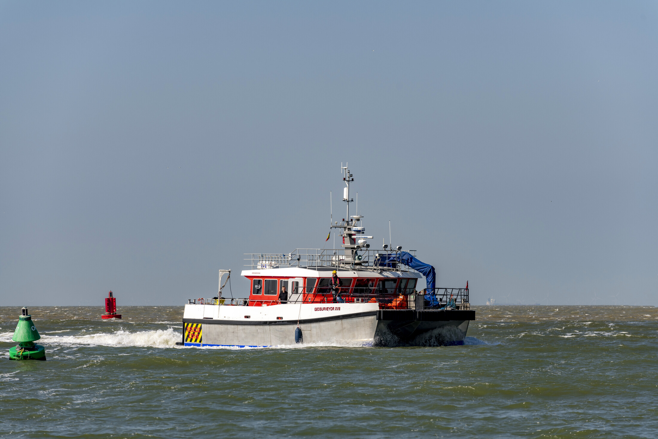
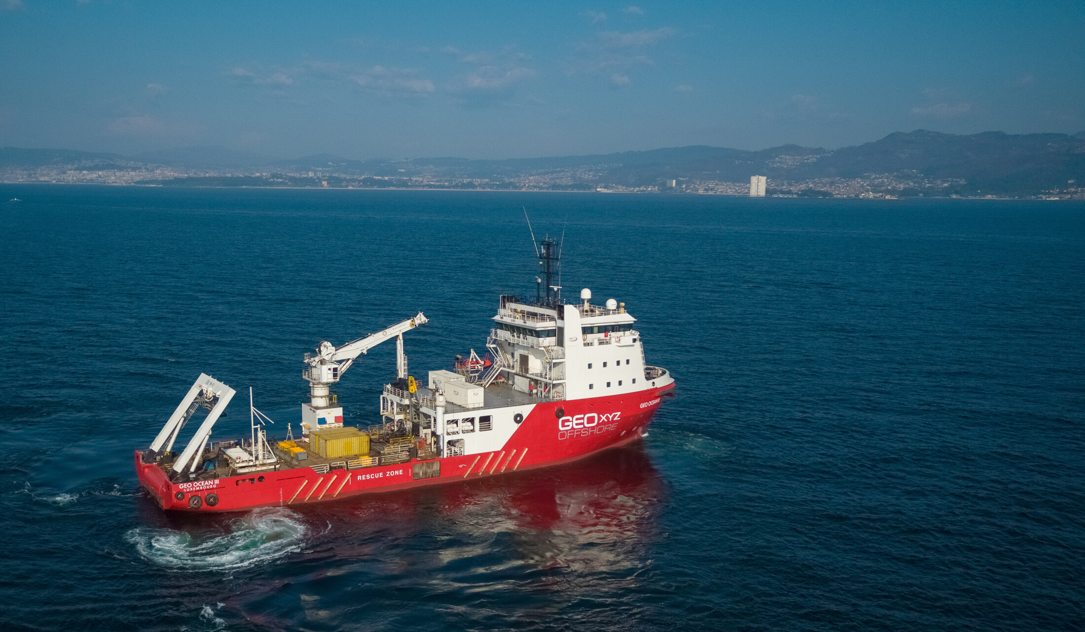
For this survey, GEOxyz will utilize its Geo Ocean III and Geosurveyor XVII.
